Our title comes from Judges 5:19, which contextually refers to the battle between Barak (with Deborah as Judge) and the Canaanites led by Sisera. God gave Israel a great victory (Judges 4-5).
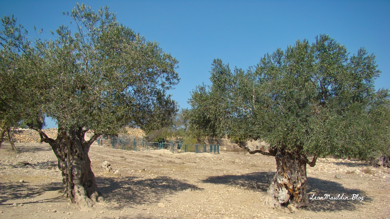
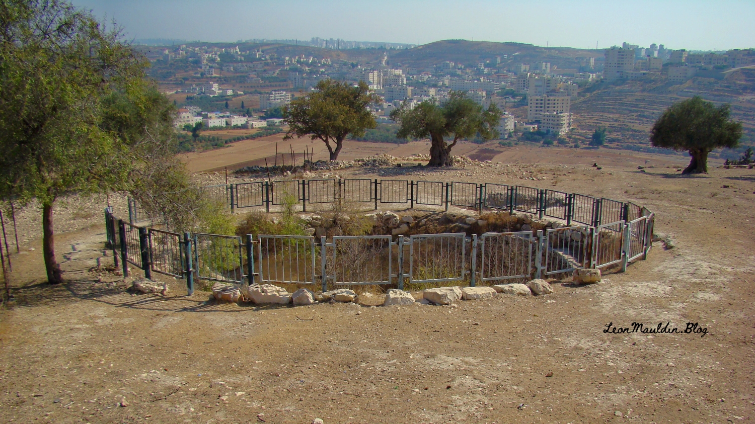
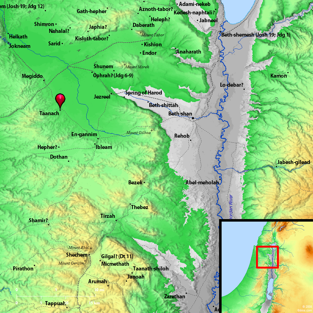
Taanach, located about 5 miles SE of Megiddo, is mentioned seven times in the Bible:
Joshua 12:21: In this summary chapter, Taanach is one of thirty-one cities taken in the conquest of Canaan, led by Joshua.
Joshua 17:11: Taanach was assigned to the western half tribe of Manasseh in the tribal allotment of land.
Judges 1:27: Manasseh did not drive out the [Canaanite] inhabitants of Taanach.
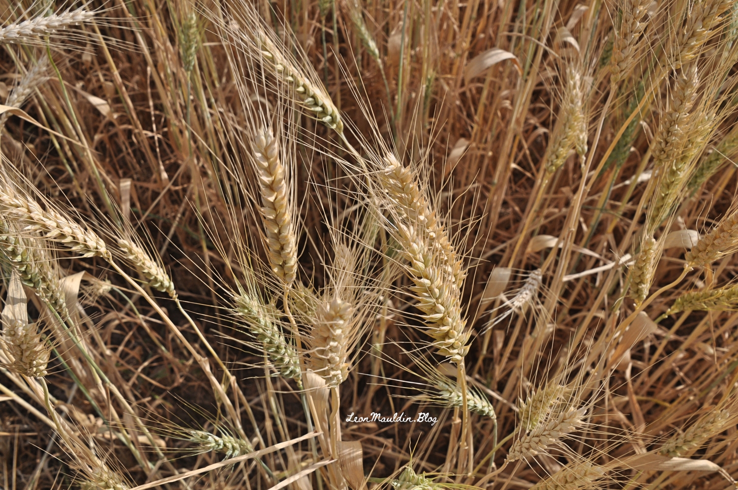
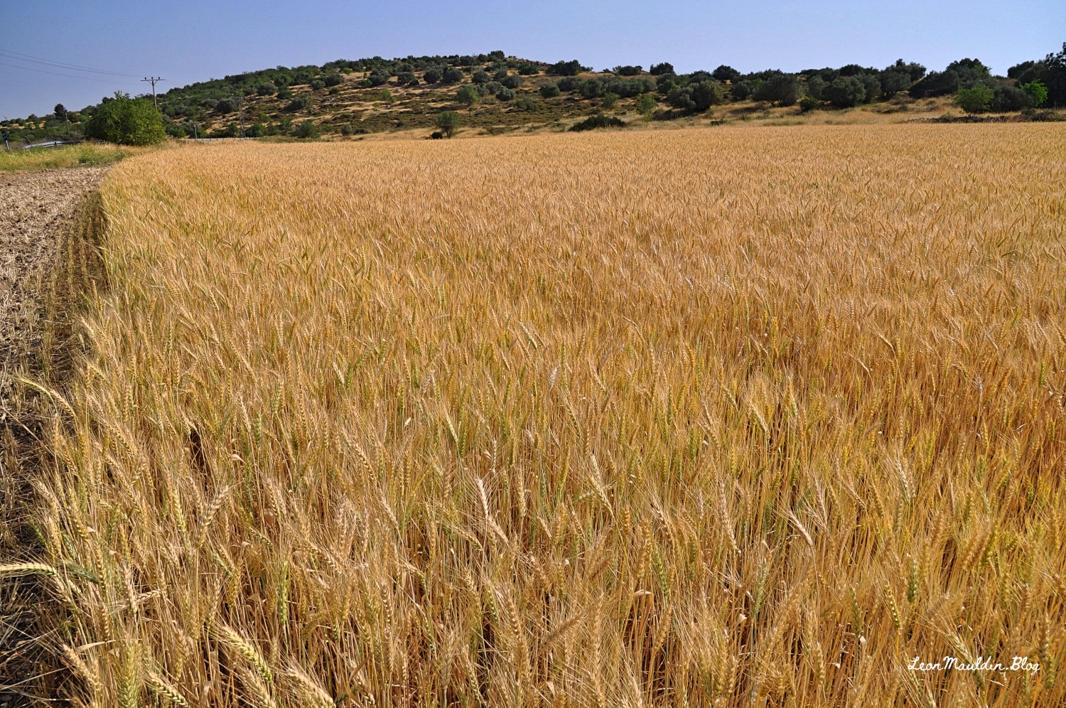
Judges 5:19: In the days of the Judges, “The kings came and fought, Then the kings of Canaan fought In Taanach, by the waters of Megiddo.”
1 Kings 4:12: King Solomon’s officers included “Baana the son of Ahilud, in Taanach, Megiddo, and all Beth Shean.”
1 Chronicles 7:29: “Taanach and her towns” are listed as among the possession of Manasseh.
Lexham Bible Dictionary has some helpful information:
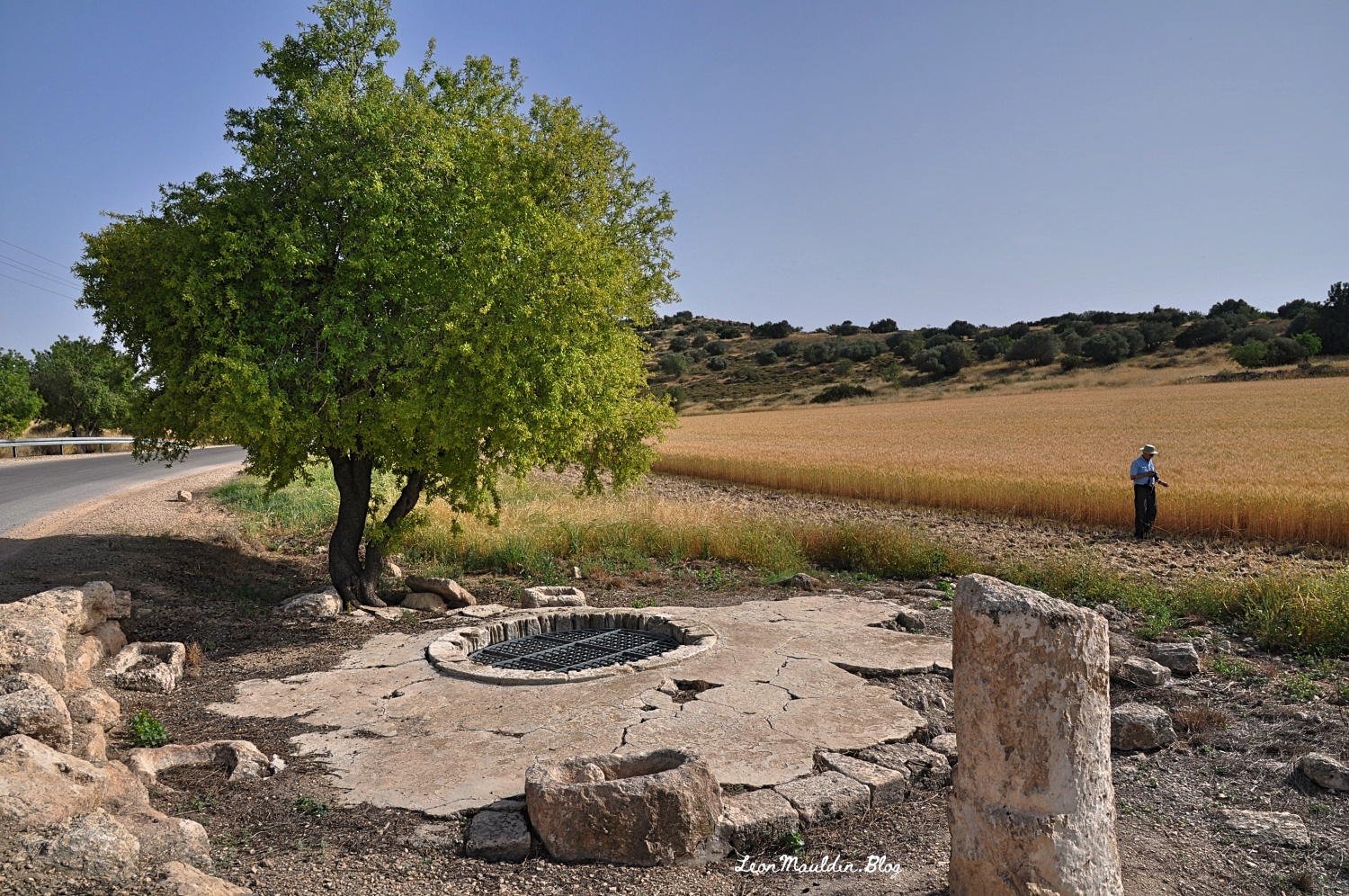
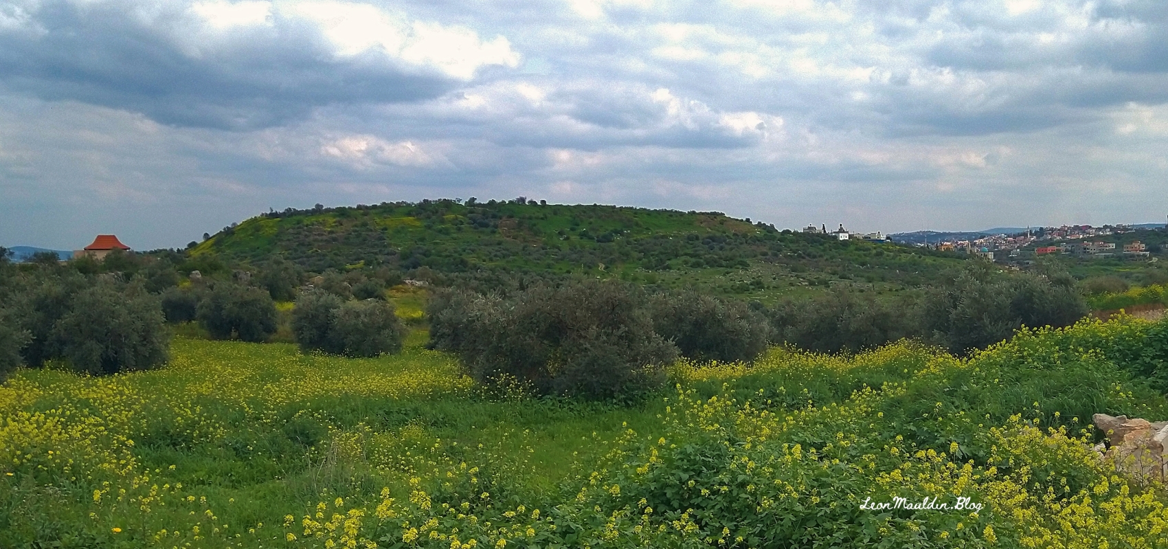
Taanach, or Tell Tiinik, is located approximately five miles southeast of Megiddo and northwest of Jenin in the eastern portion of the Jezreel Valley. The modern village located at the site bears the same name. The ancient city lies at an important intersection between Akko in the north, Jerusalem in the south, and the coastal cities in the west. The site encompasses at least 14 acres (Lapp, “Taanach by the Waters,” 2). Occupational evidence of the ancient city has been discovered dating from the Early Bronze Age, Intermediate Bronze Age, Middle Bronze Age, Late Bronze Age, Iron Age, Persian Period, Hellenistic Period, Roman Period, Byzantine Period, and Islamic Periods (Glock, “Taanach,” 1432–33; Lapp, “1963 Excavation at Ta’annek,” 8, 43–44) . . .
Taanach in Ancient Texts
In addition to the Bible, Taanach is mentioned in ancient texts including:• Egyptian topographical lists dating to the reigns of Thutmose III and Shoshenq I
• possibly one Amarna Letter
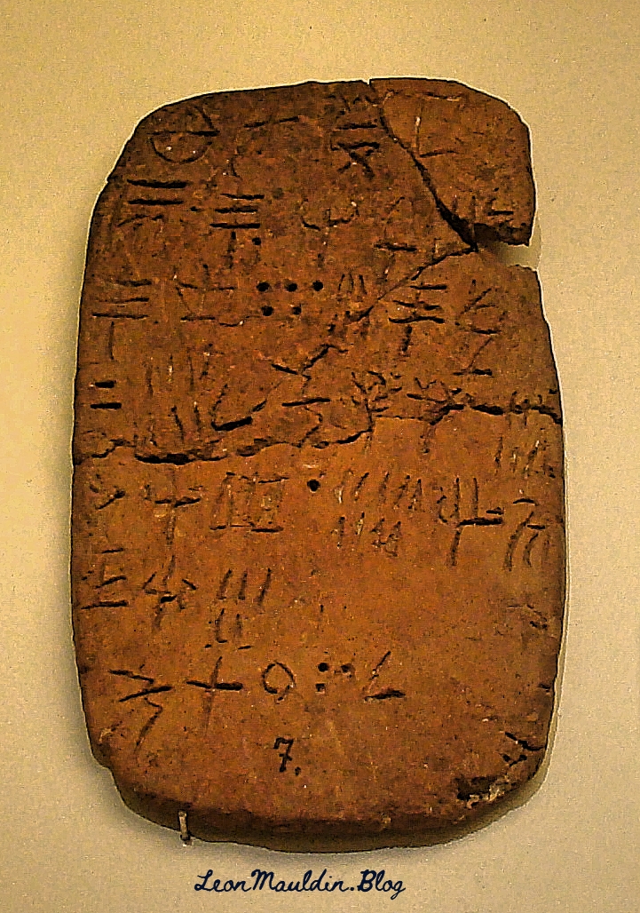
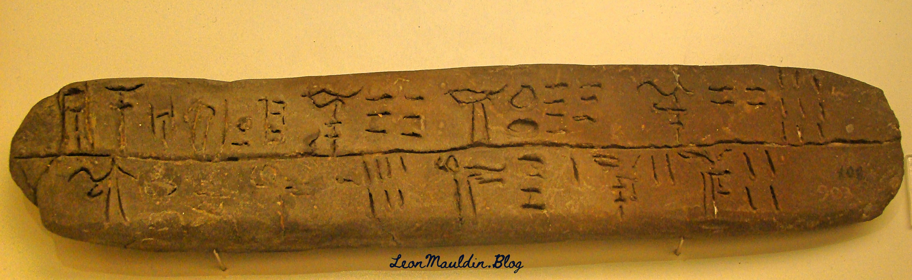
• the Taanach Tablets
• other Egyptian documents from the Late Bronze AgeThese documents, in addition to archaeological findings, attest to the city’s prominence and confirm occupation of the city in both periods during which the Bible mentions Taanach: the Late Bronze Age and Iron Age IIA (Ahituv, 184–185; EA 248; Lapp, “Taanach by the Waters,” 4).
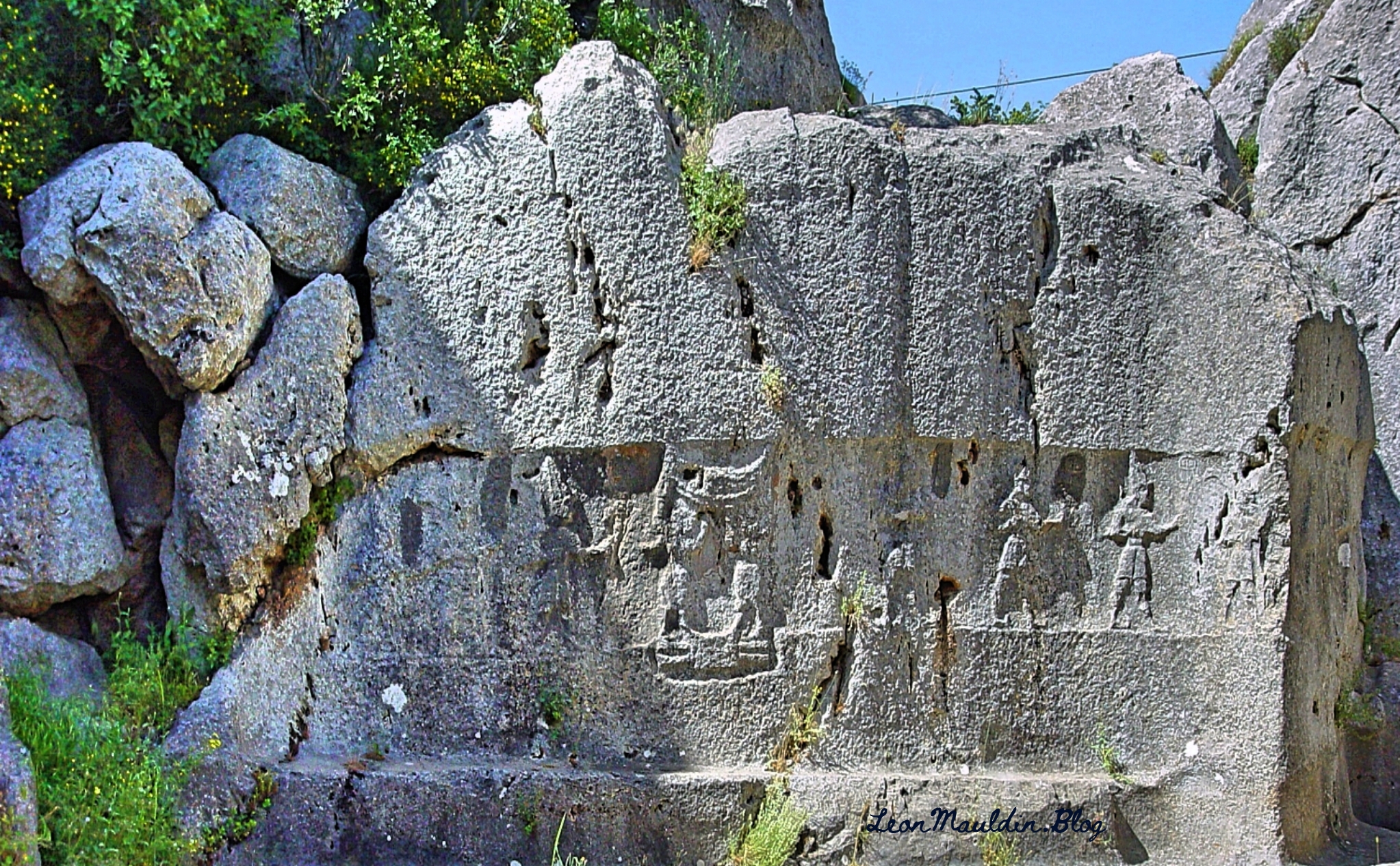
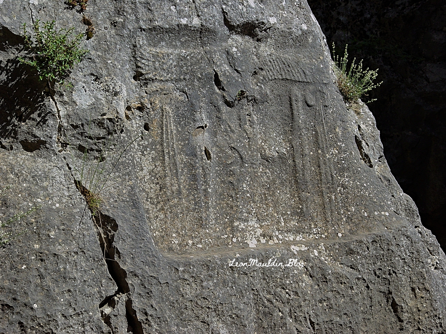
Archaeological Significance
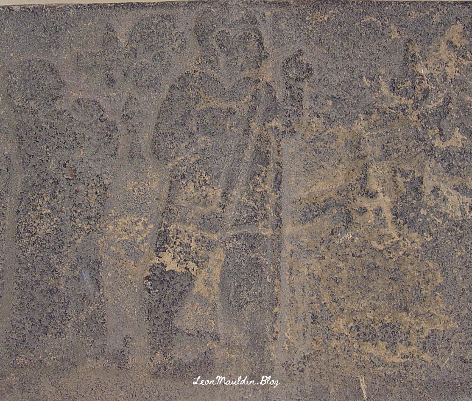
Excavations at Taanach exposed 13 Akkadian tablets dating to the 15th century BC and one Canaanite tablet that uses an alphabetic cuneiform script dating to the 12th century BC (Glock, “Taanach,” 1431–32). Although a larger total number of cuneiform tablets have been recovered at Hazor, the Taanach collection comprises the largest single cache. The content of the Akkadian tablets ranges from letters for the local king to administrative lists, while the Canaanite tablet, found in a building with stone-grinding objects, is a receipt for a grain shipment (Albright, 16–25; Lapp, “1963 Excavation at Ta’annek,” 8; Lapp, “1966 Excavations at Ta’annek,” 21; Cross, 44–45; Glock, “Taanach,” 1431–32). (Kennedy, T. M. The Lexham Bible Dictionary. Lexham Press).
Click images for larger view.


 Posted by Leon Mauldin