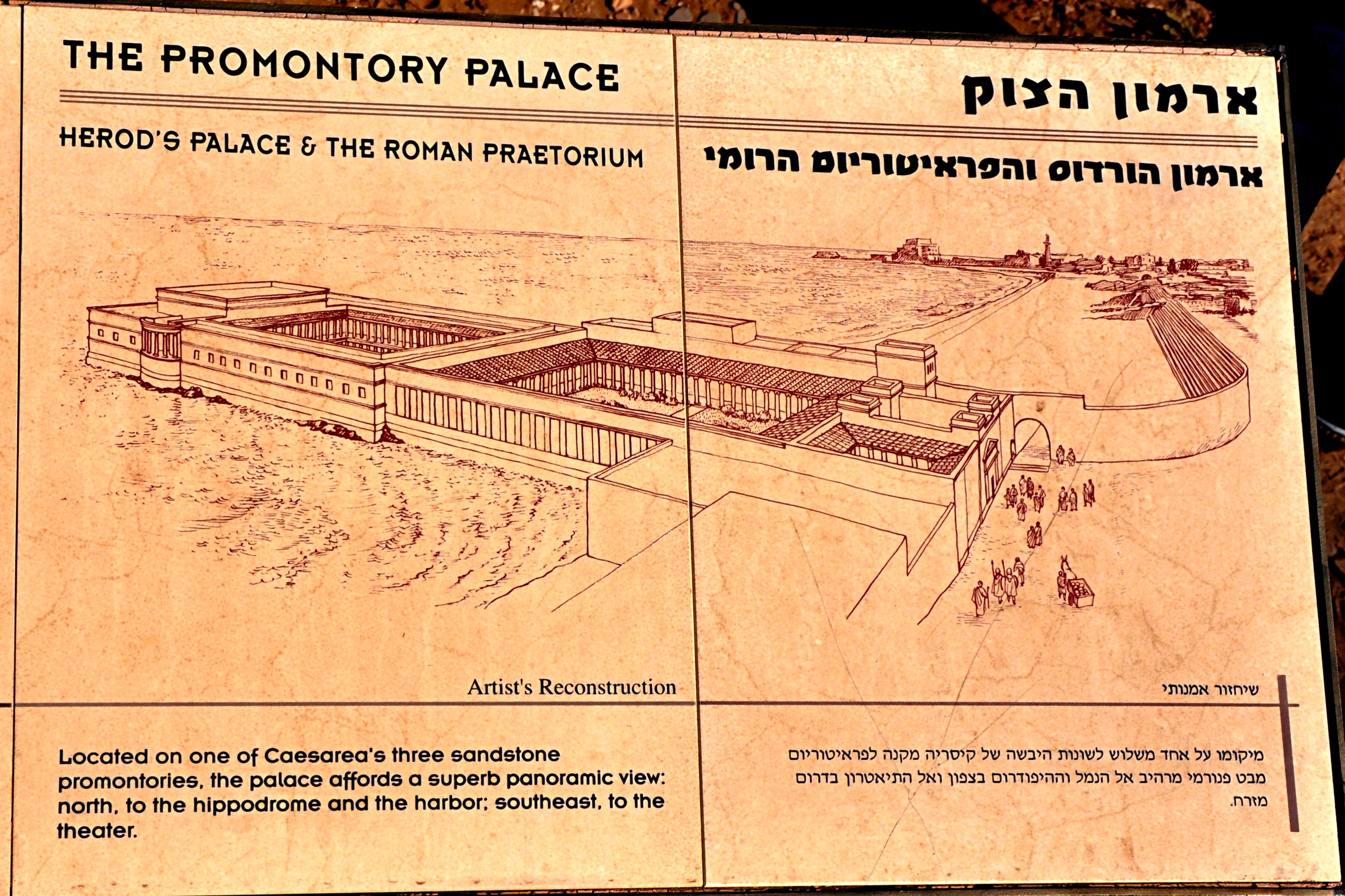
This morning while studying Revelation 8 for our Bible study tonight, I was giving attention to verses 10-11: “The third angel sounded, and a great star fell from heaven, burning like a torch, and it fell on a third of the rivers and on the springs of waters. The name of the star is called Wormwood; and a third of the waters became wormwood, and many men died from the waters, because they were made bitter.” Every passage has a context. Previously John saw the protection and care of those who have “the seal of the living God” (Rev. 7). Their prayers ascend “before God” and are heard (8:1-5). Here in our text (ch. 8) the imagery of trumpets sounding warning of judgments from God against those (rebellious) who “dwell on the earth” (8:13).
What does this imagery of wormwood portray? The text itself is helpful: “because they were made bitter” (8:11). Here is punishment/divine judgment which would be very bitter to those experiencing it. Further, the book will show that these warnings were the prelude of more (and worse) to come.
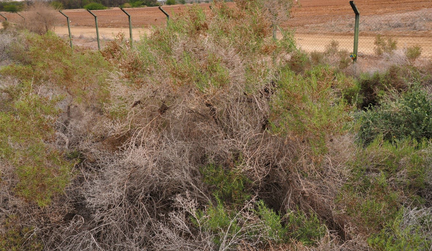
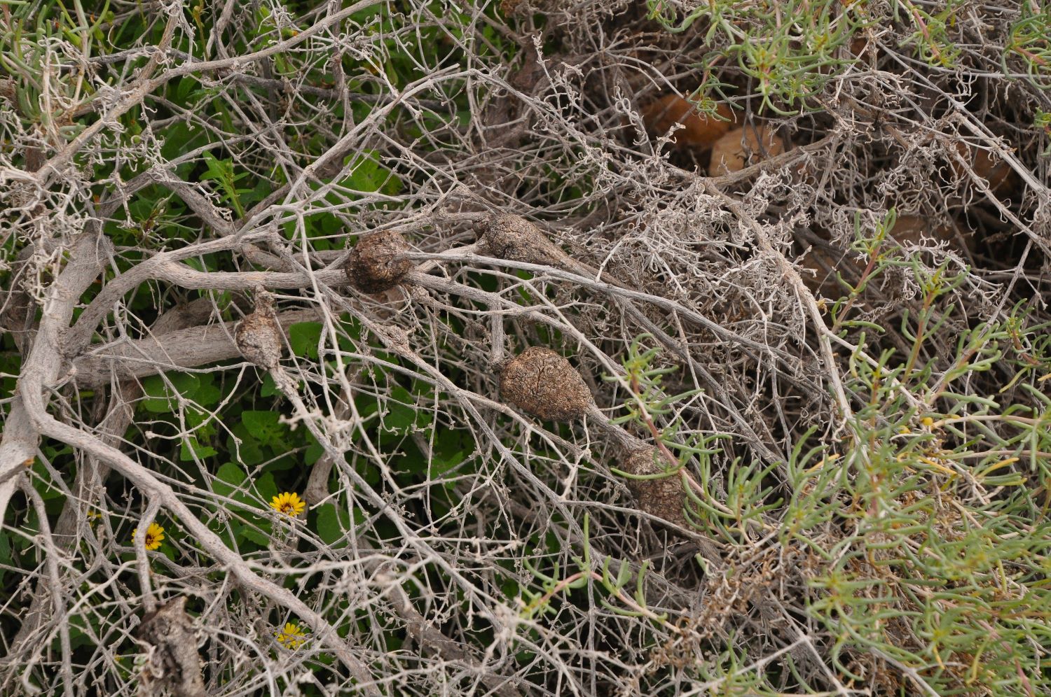
“Several plants in Palestine within the genus Artemisia, all of which are bitter in taste. Several species and varieties grow in Palestine, but those mentioned in the Bible are most likely Artemisia herba alba Asso, A. Judaica L., or A. absinthium” (ISBE, Vol. 4, p. 1117).
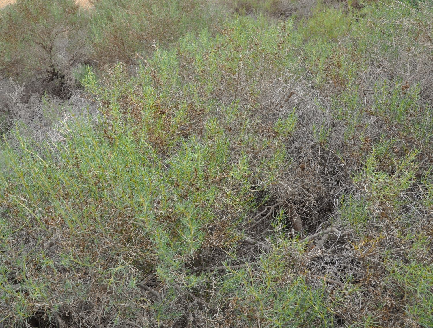
“Several species of artemisia grow in Palestine. The common wormwood is Artemisia Absinthium. The name always implies wormwood or something more bitter than gall. The genus artemisia belongs to the natural order Compositæ.” (Balfour, J. H. The Plants of the Bible, p. 246).
Consider the biblical references to wormwood, where its bitter, unpleasant character is alluded to.
- Deut. 29:18: Moses warned Israel about a root bearing bitterness (see NIV: “bitter poison”): “Deuteronomy 29:18 “so that there will not be among you a man or woman, or family or tribe, whose heart turns away today from the LORD our God, to go and serve the gods of those nations; that there will not be among you a root bearing poisonous fruit and wormwood.
- The young man is warned against the adulterous woman in Prov. 5:4: “But in the end she is bitter as wormwood, Sharp as a two-edged sword.”
- Jeremiah warned God’s apostate people in Jerusalem, “therefore thus says the LORD of hosts, the God of Israel, “behold, I will feed them, this people, with wormwood and give them poisoned water to drink” (Jer. 9:15).
- Later, Jeremiah wrote about his personal struggle as he witnessed the wrath of God upon Jerusalem by Babylon: “He has filled me with bitterness, He has made me drunk with wormwood” (Lam. 3:15). And he implores God, “Remember my affliction and my wandering, the wormwood and bitterness” (Lam. 3:19).
- The prophet Amos rebuked the northern kingdom of Israel, describing them with the words, “For those who turn justice into wormwood And cast righteousness down to the earth” (Amos 5:7). And again, “Do horses run on rocks? Or does one plow them with oxen? Yet you have turned justice into poison And the fruit of righteousness into wormwood” (Amos 6:12).
The book of Revelation is filled with Old Testament allusions. These verses help provide the background for the imagery of wormwood in Revelation 8:11.


 Posted by Leon Mauldin