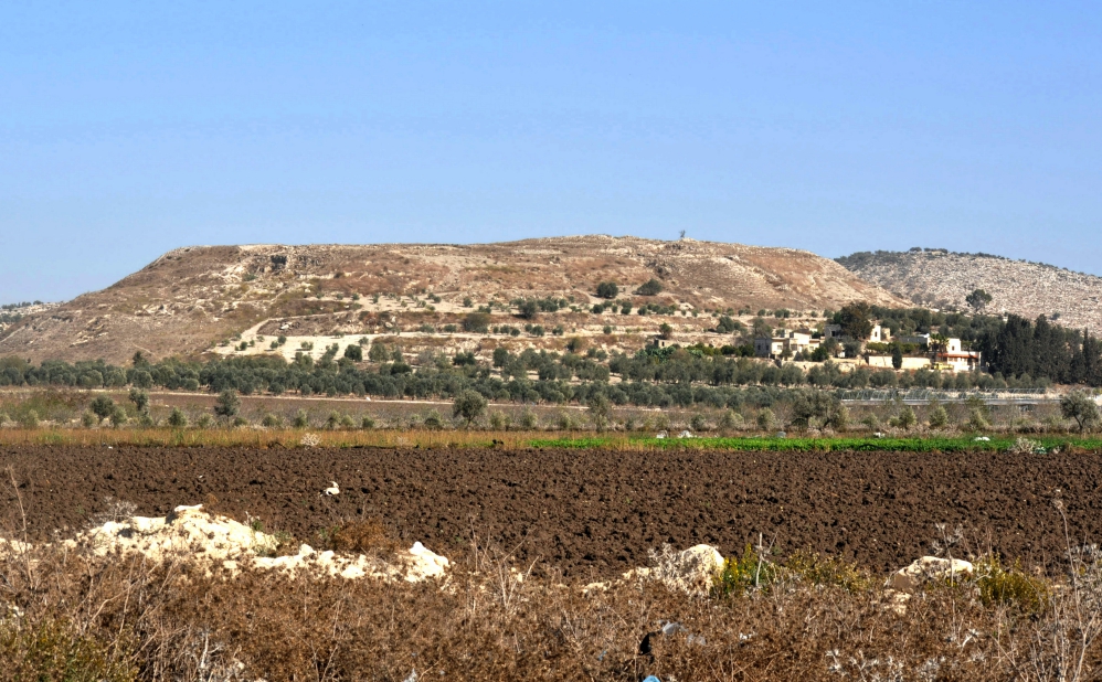
Dothan is mentioned twice in the Bible, once as the site where Joseph was sold by his brothers, and again in the days of Elisha, in the context of Syrian raids into Israel.
Our earlier article describing the account of Joseph’s being sold at this site by his jealous brother, may be accessed here. That event transpired in the days of the Patriarch.
2 Kings 6 takes place at a later biblical period, that of the Divided Kingdom. When the king of Syria, Ben-hadad II, was waring against Israel, Elisha the man of God repeated sent word to the king of Israel (Joram), warning him of Ben-hadad’s whereabouts. When a Syrian soldier revealed this information to the king, when he was further informed, “Behold, he is in Dothan” he immediately sent “horses, and chariots, and a great host” which surrounded Dothan (vv. 8-14).
Elisha’s servant was scared out of his wits when he saw that sight, but Elisha was unperturbed. “And when the servant of the man of God arose early and went out, there was an army, surrounding the city with horses and chariots. And his servant said to him, ‘Alas, my master! What shall we do?’ So he answered, ‘Do not fear, for those who are with us are more than those who are with them.’ And Elisha prayed, and said, ‘LORD, I pray, open his eyes that he may see.” Then the LORD opened the eyes of the young man, and he saw. And behold, the mountain was full of horses and chariots of fire all around Elisha” (2 Kings 6:15-17).
The text goes on to narrate how the Syrian army was temporarily struck with blindness and was led into the city of Samaria. There, instead of being slaughtered, they were fed and released. The power and glory of YAHWEH was thus displayed.
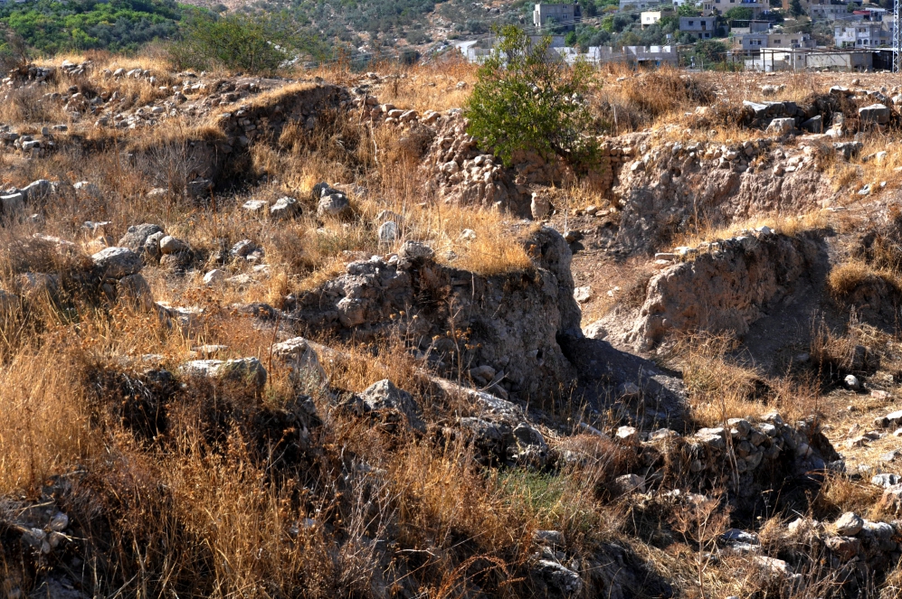
Dothan was excavated by J.A. Free. The New Bible Dictionary has the following info:
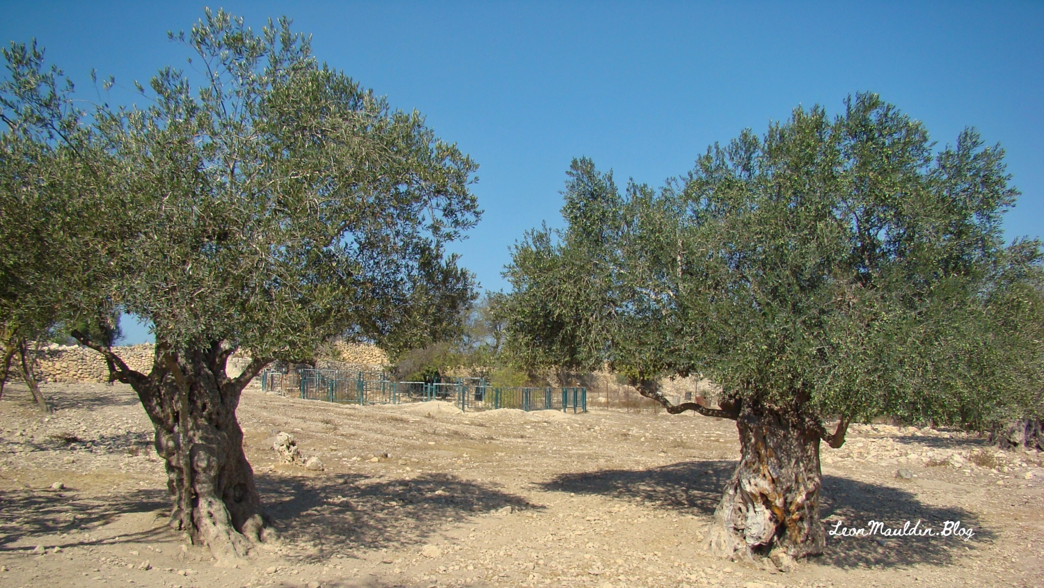
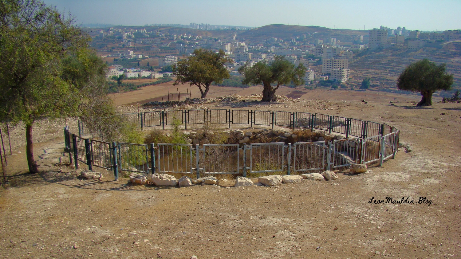
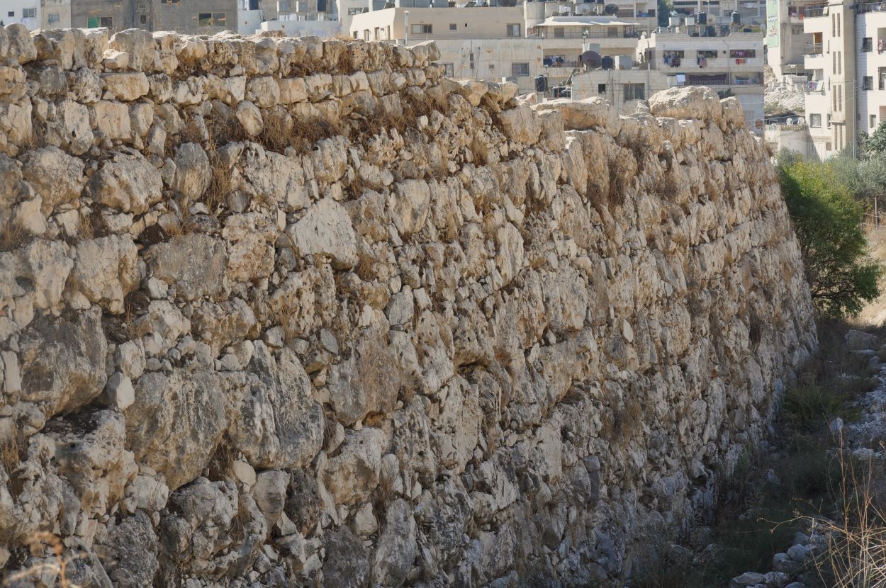
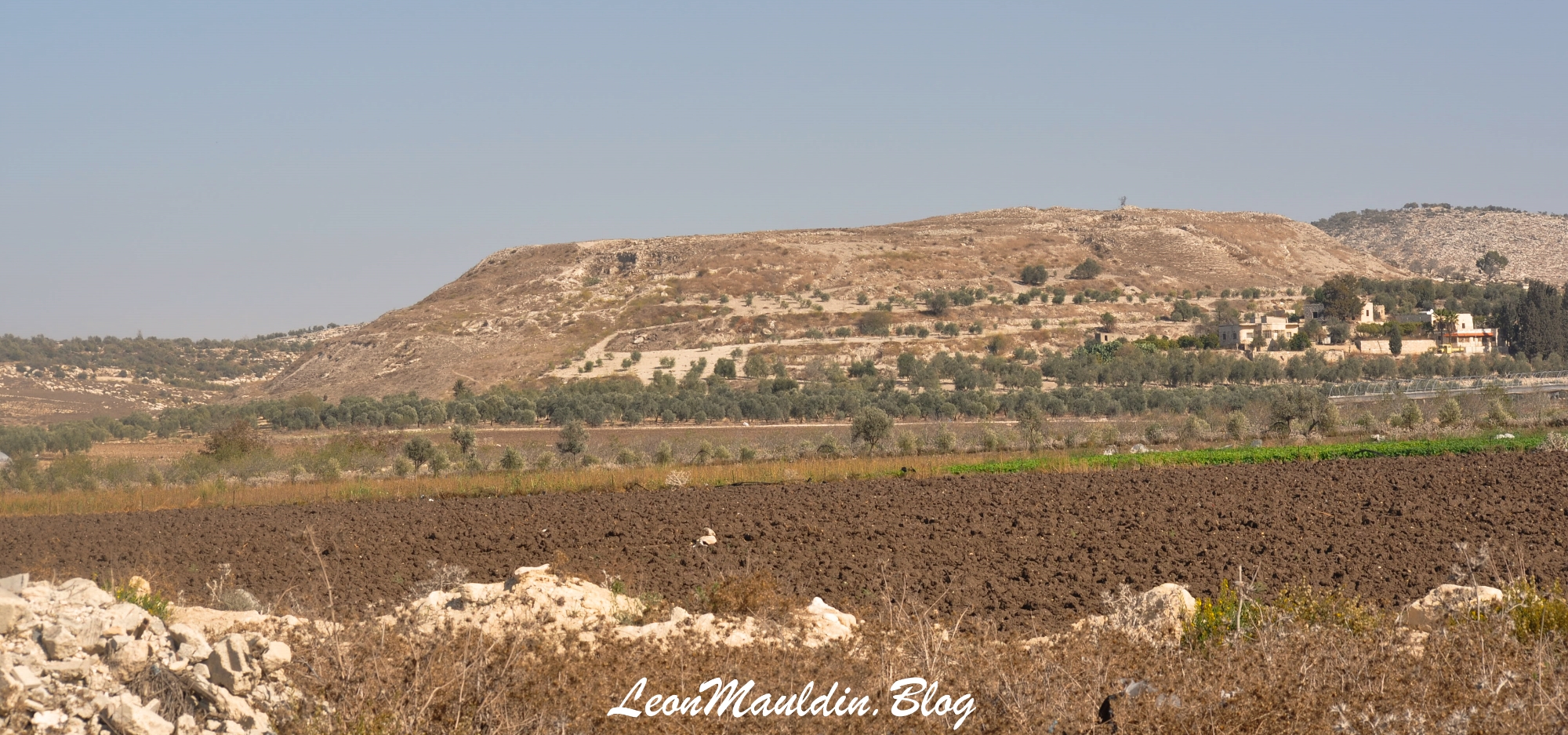
DOTHAN. The fertile plain of Dothan separates the hills of Samaria from the Carmel range. It provides an easy pass for travellers from Bethshan and Gilead on their way to Egypt. This was the route of the Ishmaelites who carried Joseph into Egypt. The good pasturage had attracted Jacob’s sons from Shechem, 32 km to the S. Near the town (now tell dōṯā) are rectangular cisterns about 3 m deep similar to the pit into which Joseph was put (Gn. 37:17ff.). Elisha led the Syrian force, which had been sent to capture him, along the hill road to Samaria, 16 km S. His servant was encouraged by a vision of heavenly forces arrayed on the hill to the E of the town (2 Ki. 6:13–23).
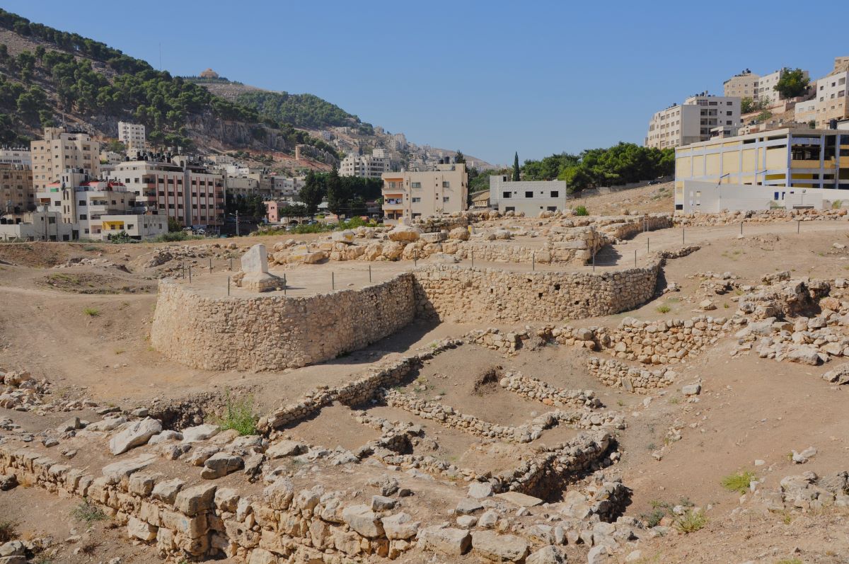
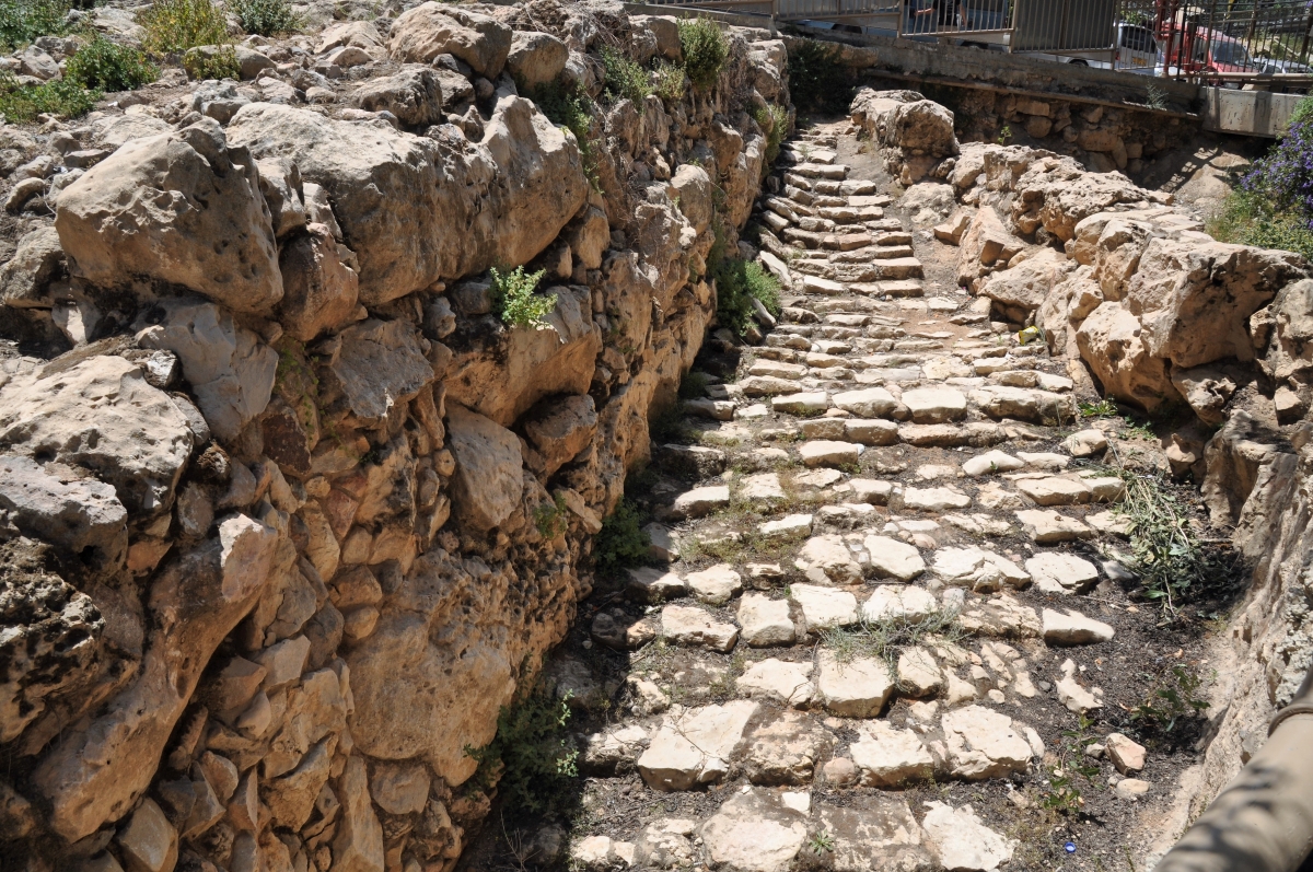
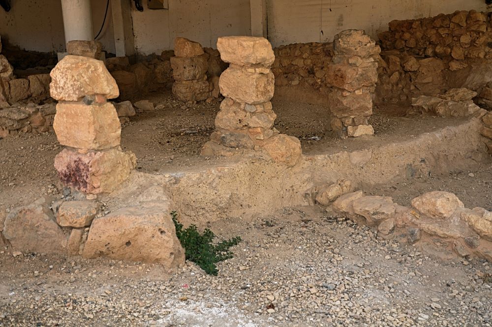
Excavations (1953–60) revealed a walled city of the Early and Middle Bronze Ages, and a Late Bronze Age settlement apparently using the older city wall. Thothmes III lists Dothan among his conquests (c. 1480 BC). It was probably one of the towns which was absorbed by the Israelites, but not actually conquered (cf. Jdg. 1:27). Areas of the Iron Age town which have been cleared show the narrow streets and small houses with storage-pits and bread-ovens of Elisha’s day. Among the finds are fifteen pieces of silver in a pottery box representing an individual’s savings. There was also settlement in the Assyrian and Hellenistic periods (cf. Judith 4:6; 7:3). (3rd ed., p. 281).
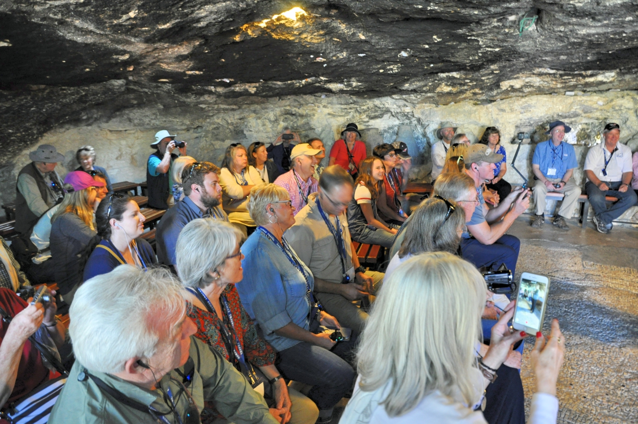
Click image for larger view.


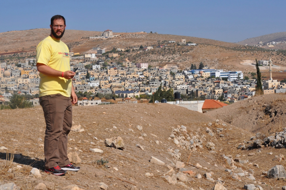
 Posted by Leon Mauldin