Ferrell Jenkins Conducts 50th Anniversary Tour: A Tribute to my Friend

April 27, 2016

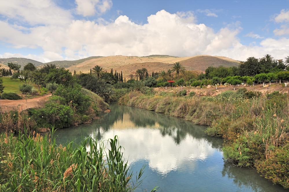
The March 28 – April 8, 2016 Israel tour directed by Ferrell Jenkins was advertised as his “50th Anniversary Tour,” thus completing 50 years of Distinctive World Tours, designed and led by Mr. Jenkins. What a remarkable, incredible milestone! These tours, custom-designed with Christians in mind, have literally gone around the world, but the emphasis has been on travel to the lands where the biblical events transpired. That of course includes Israel, but also Turkey, Greece, Italy, Egypt and more; literally from Ararat (where Noah’s ark landed; book of Genesis) to Patmos (where John received the Revelation). All who have traveled with Mr. Jenkins have profited, but it is especially the Bible class teachers (men & women), preachers and elders who have made the greatest use of resources, photos and knowledge gained. In that way also the folks “back home” that do not travel have benefited as well.

His blog, Ferrell’s Travel Blog was started in 2007, to feature not only photos of Bible places but also helpful info, biblical texts and other resources/links. Since then his blog has received more than two million visits. (You will also find biblicalstudies.info to be a very helpful site).

Mr. Jenkins wrote, “I have been preaching and teaching the Word of God since 1952, and I have always loved it. Nothing gives me a greater thrill than teaching at the sites where biblical events occurred. Thanks for the memories. It is my conviction that an understanding of the Bible lands can enhance one’s Bible study and improve understanding of the text. This, in turn, must be converted to action in obedience to the will of the Lord, and in service to Him” (Biblical Insights, Dec. 2009, p.28).

Ferrell Jenkins outside Bible Lands Museum, Jerusalem. Photo by Leon Mauldin.

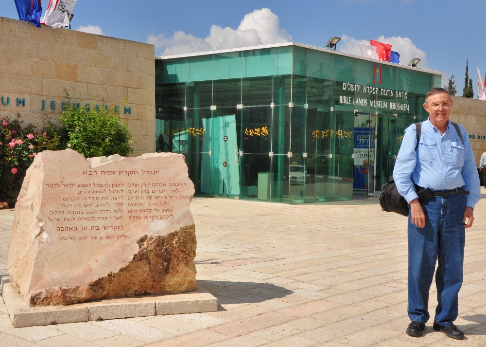
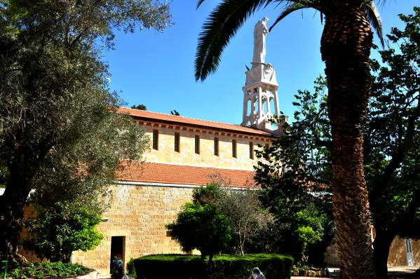
Ferrell Jenkins outside Bible Lands Museum, Jerusalem (Apr. 14, 2016). Photo by Leon Mauldin.

On my part I wanted to say Thanks! for a job well done, for such an outstanding contribution to the field of biblical studies. It is amazing to look back at those last 50 years and think of the good that has been accomplished. Though retired, Mr. Jenkins continues to study several hours daily, and writes and does some teaching as time permits. He has devoted his life to helping people, especially young people, better understand and be equipped to teach the Bible. All of his work has been done with the loving support of Mrs. Elizabeth Jenkins.

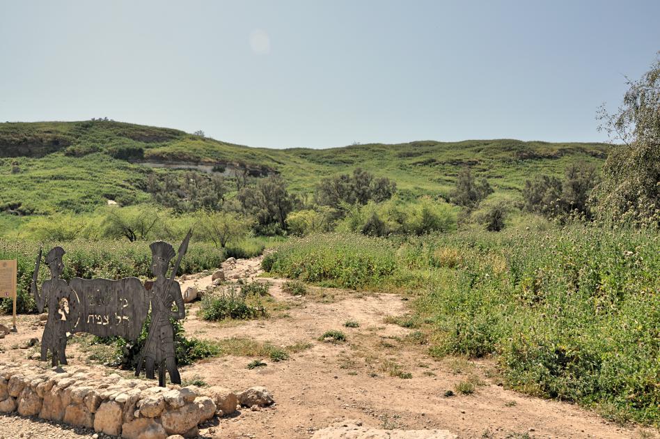
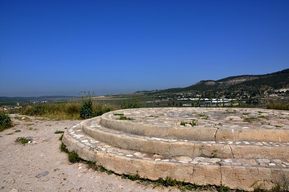
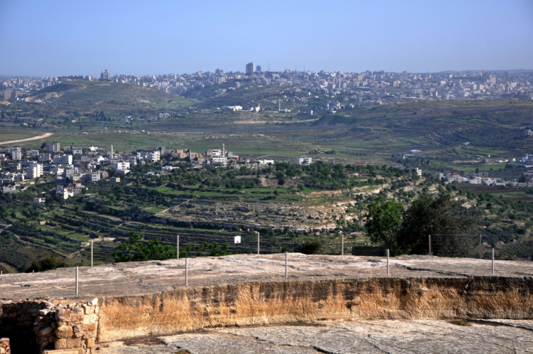
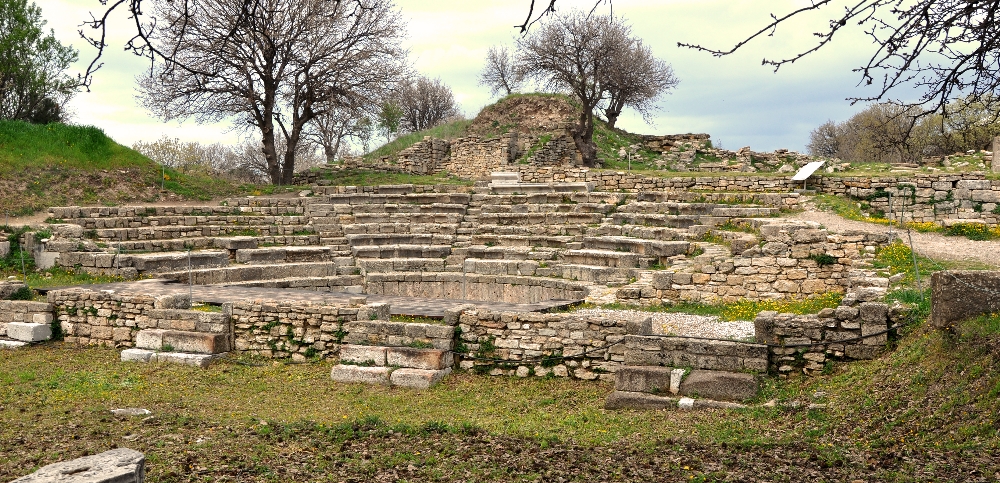
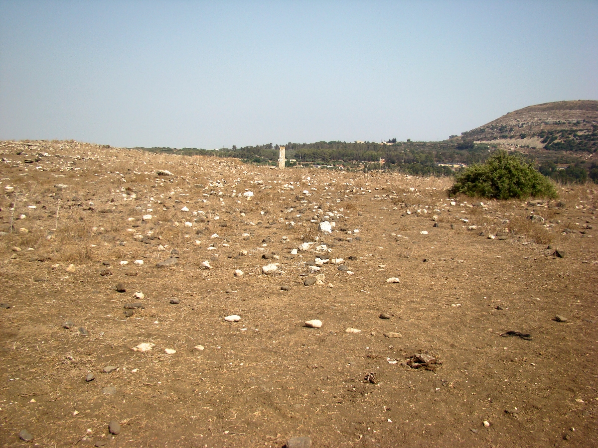
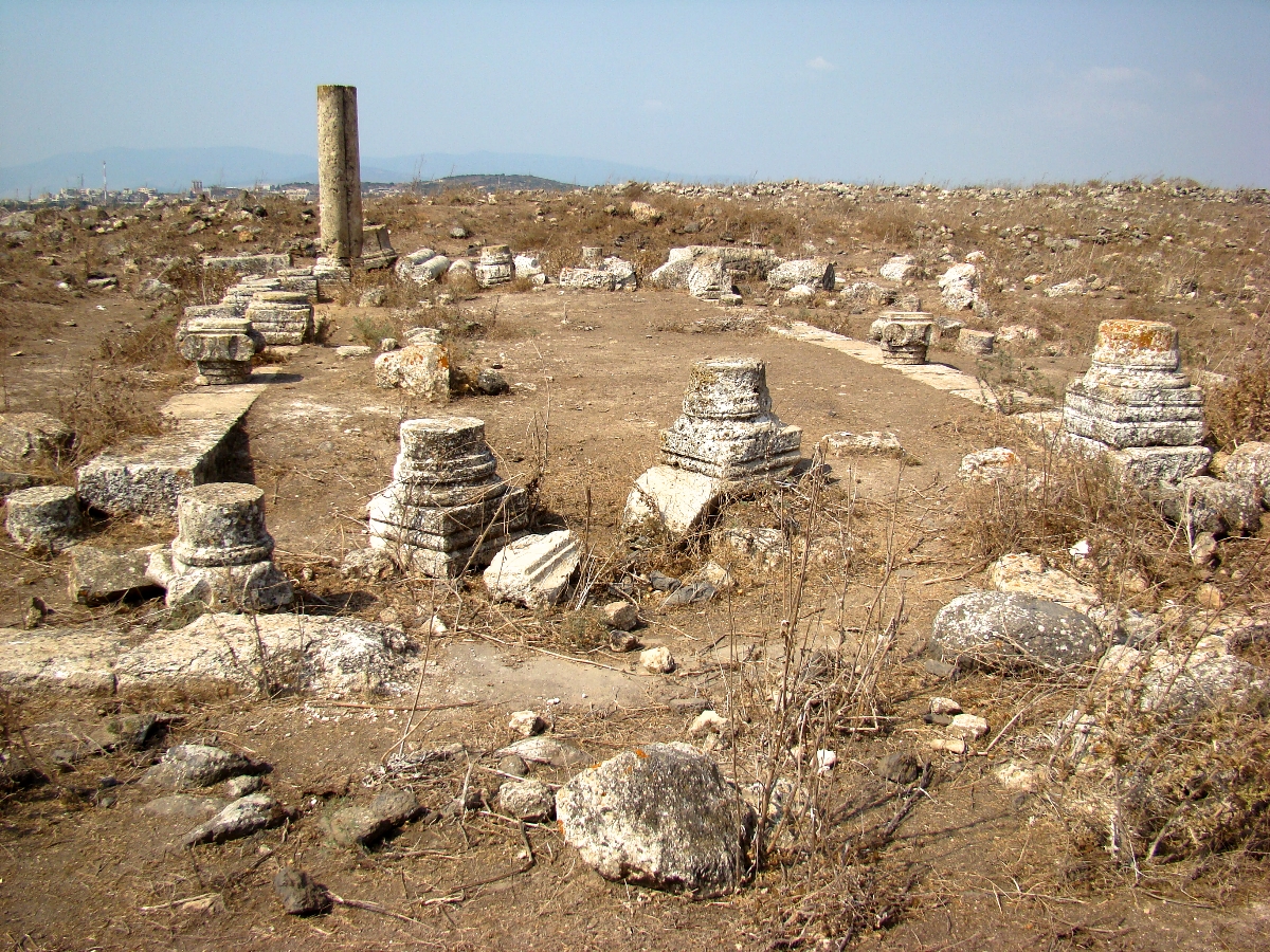
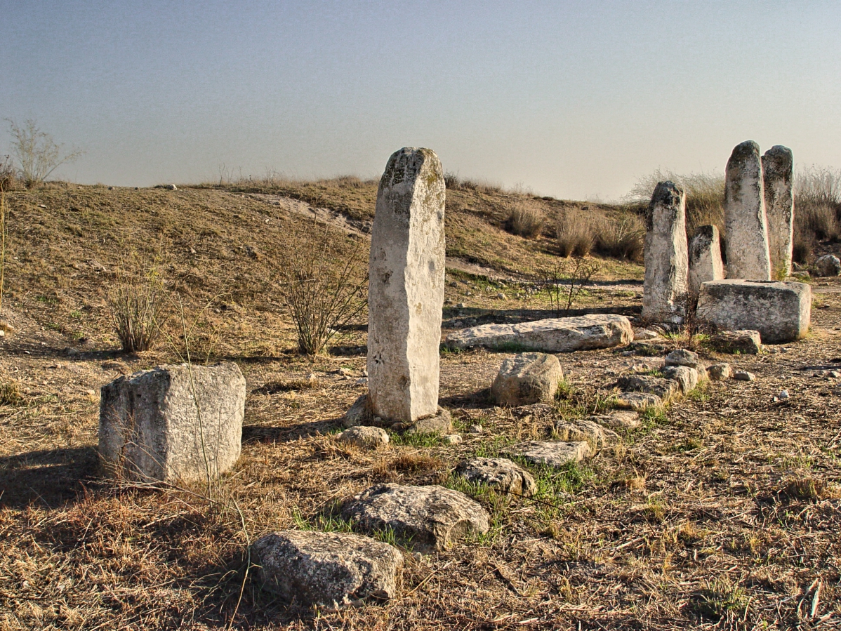
On a personal note, I was able to join this 50th tour on the evening before its final day. Then after the tour group left for home, Mr. Jenkins & I rented a car, and for the next several days visited sites all over Israel, using Tiberius and Jerusalem as our “base,” especially focusing on places we had not seen before. We were also able to do some aerial photography from Joppa to the south as far as Beersheba and east to Jerusalem. I have enjoyed and profited from several personal study trips he & I have made of this nature.

So to my fellow Gospel preacher, former professor, and traveling friend, please accept this small token of my lasting gratitude, and of the high esteem in which you are held, furnished by the occasion of this extraordinary milestone! To God be the glory!
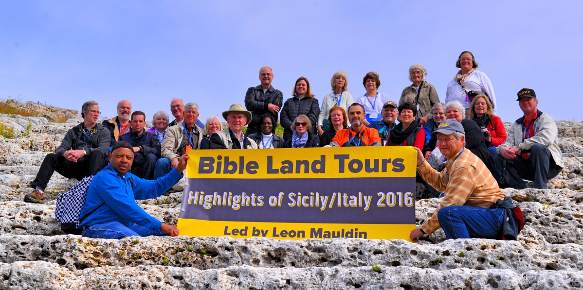
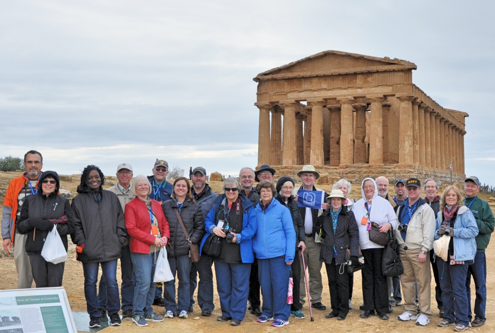
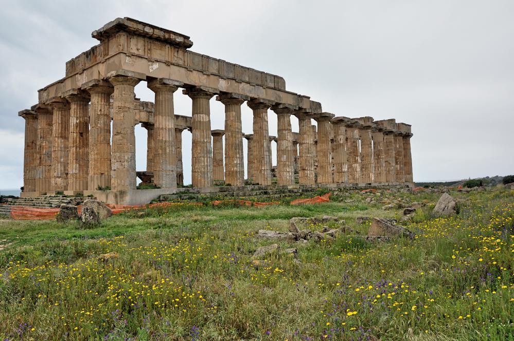


Gan Hashlosha (near biblical Beth-shan), Israel

April 12, 2016

Today’s travels took us from the Sea of Galilee down the Jordan Valley to the Dead Sea area, then west on back to Jerusalem. Along the way we made some interesting stops, including while still in the north, Gan Hashlosha, in the vicinity of Beth-shan. Beth-shan was the city where the bodies of King Saul and three of his sons were fastened after their deaths (1 Sam. 31). Amal Stream, the spring water that emerges in the western part of the park maintains a constant, year-round temperature of 28 degrees Celsius.

Beautiful Gan Hashlosha, Israel. Photo by Leon Mauldin.

Beautiful Gan Hashlosha, Israel. Photo by Leon Mauldin.

Our real interest in stopping here was the Museum of Regional & Mediterranean Archaeology, which has some unique artifacts from the Beth-shan area, as well as rare finds from the Mediterranean region. The displays feature Canaanite, Israelite, Grecian, Etruscan, Persian and Egyptian collections.

We also drove along the top of Mt. Gilboa, where we had some good views of the Plain of Jezreel, where so many biblical events occurred.

Click image for larger view.


Biblical Sites in Israel: Gath of the Philistines

April 9, 2016

A visit to the biblical site of Gath, Tel es Safi, on Israel’s coastal plain is worthwhile. Gath was the land of giants (Josh. 11:22). Goliath was from Gath: “Then a champion named Goliath, from Gath, came out from the Philistine camp. He was nine feet, nine inches tall” (1 Sam. 17:4, Holman’s Christian Standard Bible).

It is sad to read how that David (after killing Goliath) had to flee from Saul. He fled to Gath of the Philistines, but there, fearing for his life, pretended to be insane (1 Sam 21:10-15; cf. Psalms 34 and 56). Later David again fled to Gath and was given refuge (1 Sam. 27); the king of Gath gave David and his 600 men the city of Ziklag.

When David was residing when he heard news of the death of King Saul, and his three sons (1 Sam. 31) he composed a song which included the words “Tell it not in Gath, Proclaim it not in the streets of Ashkelon — Lest the daughters of the Philistines rejoice, Lest the daughters of the uncircumcised triumph” (2 Sam. 1:20).

Our photo here gives a view of the large tel.

Tel Gath of the Philistines. Photo by Leon Mauldin.

Tel Gath of the Philistines. Photo by Leon Mauldin.

We were also able to see some of the excavations of the cities lower wall.

Recent Excavations at Gath. Lower wall of city. Photo by Leon Mauldin.

Recent Excavations at Gath. Lower wall of city. Photo by Leon Mauldin.

I have previously posted on Gath here (aerial photo).

Dr. Aren Maeir maintains a blog here devoted to news about Gath, Tel es Safi.

Tonight we are at Tiberias, on the Sea of Galilee; more photos and info to come. Thanks for following our travels.


Kiriath-jearim and Beth-shemesh in Israel

April 8, 2016

Today Ferrell Jenkins and I visited sites in Jerusalem, but for our post for now I wanted to note a couple of biblical sites we visited yesterday.

One was Kiriath-jearim. This location is of importance because the Ark of the Covenant was there from the days of Samuel (after Eli’s death and the Philistine destruction of Shiloh 1 Sam. 4-5). We read in 1 Samuel 6:21, “So they sent messengers to the inhabitants of Kiriath-jearim, saying, ‘The Philistines have brought back the ark of the LORD; come down and take it up to you.'”

At Kiriath-jearim. Our Lay of the Ark of the Covenant. Photo by Leon Mauldin.

At Kiriath-jearim. Our Lay of the Ark of the Covenant. Photo by Leon Mauldin.

Once the ark was returned to Israel by the Philistine enemies, ca. 1100 BC, it would remain there until King David made Jerusalem his capital, ca. 1003 BC, i.e. for 100 years. But first the ark came to Beth-shemesh. The biblical narrative explains how the hand of God was involved as two milk cows, with their calves kept behind, pulled a cart carrying the ark straight from Ekron of the Philistines to the border town of Beth-shemesh of Israel (1 Sam. 6).

Beth Shemesh, where the ark was returned from the Philistines. Photo by Leon Mauldin.

Beth-shemesh, where the ark was returned from the Philistines. Photo by Leon Mauldin.

Our photo shows the suggested site in Beth-shemesh (in foreground) where the cows pulling the ark were slain as sacrifices. Our view looks toward Philistia in the distance (left from center), the direction from which the ark would have come. As stated above (1 Sam. 6:21), from Beth-shemesh the ark was taken to Kiriath-jearim, where it remained until the days of King David.

We have previously posted here on Kiriath-jearim and here on Beth-shemesh, with aerial photo.


Traveling in Israel: Gibeon and More!

April 7, 2016

Today was a delightful day in Israel. We were able to see biblical sites from Jerusalem westward all the way to the coastal Philistine city of Gath.

Just north of Jerusalem (OT territory of Benjamin) is Gibeon, (Arabic El-Jib). This was formerly the Canaanite city that deceived Joshua and the men of Israel by pretending to be from a great distance, and thus entered into a covenant with Israel during the days of the Conquest (Joshua 9). There are subsequently several biblical references to this site.

Gibeon. Many OT texts refer to this site. Photo by Leon Mauldin.

Gibeon at center of photo. Many OT texts refer to this site. Photo by Leon Mauldin.

We have previously posted on Gibeon here and here.

Today we also saw Kiriath-Jeariam and  numerous sites in the Shephalah, including the valley of Elah, where David killed Goliath, Lachish, Beth-Shemesh, and the Philistine city of Gath, plus others. More on these later!


Odeion at Troy

April 1, 2016

Ancient Troy has been made famous by Homer’s Iliad. Troy is located within the province of Çanakkale, located in extreme western Turkey. Troy’s extensive remains are the most significant and substantial evidence of the first contact between the civilizations of Anatolia and the Mediterranean world. This past Spring, 2015, we were able to visit Troy. Among the fascinating ruins there was the Roman Odeion, a small theater where concerts, lectures and other events took place.

Roman Odeion at Troy, Turkey. Photo by Leon Mauldin.

Roman Odeion at Troy, Turkey. Photo by Leon Mauldin.

The skene, stage building included a larger-than-life statue of the Emperor Hadrian (AD 117-138). Also, a sculpted head of Augustus was found at the odeion, causing some to surmise that this may have been erected in honor of his visit here in 20 BC. Beyond the odeion at the back you can see a portion of the fortification wall of Troia VI.

The Roman odeion is in Troy’s Level IX. Over the centuries there were nine levels of occupation.

Cross-section of Troy, showing 9 occupation levels. Istanbul Museum. Photo by Leon Mauldin.

Cross-section of Troy, showing 9 occupation levels. Istanbul Museum. Photo by Leon Mauldin. 

Wikipedia has this helpful chart:

Troy I 3000–2600 BC (Western Anatolian EB 1)
Troy II 2600–2250 BC (Western Anatolian EB 2)
Troy III 2250–2100 BC (Western Anatolian EB 3 [early])
Troy IV 2100–1950 BC (Western Anatolian EB 3 [middle])
Troy V: 20th–18th centuries BC (Western Anatolian EB 3 [late])
Troy VI: 17th–15th centuries BC
Troy VIh: late Bronze Age, 14th century BC
Troy VIIa: c. 1300–1190 BC, most likely setting for Homer’s story
Troy VIIb1: 12th century BC
Troy VIIb2: 11th century BC
Troy VIIb3: until c. 950 BC
Troy VIII: c. 700–85 BC
Troy IX: 85 BC–c. AD 500

Biblical significance: It was here at Troy (Ilium) at the temple of Athena that Xerxes (Ahasuerus) of the book of Esther sacrificed 1,000 head of cattle en route on his march through the Hellespontine region towards Greece. This was 480 BC.

We have previously posted on Troy here.


Syracuse, Mt. Etna, and Taromina, Sicily

March 13, 2016

Yesterday (Saturday) we visited the archaeological sites Syracuse, Sicily, and from there went on to Mt. Etna (Europe’s most active volcano), and then to Taromina. While at the Greek theater at Syracuse we took this group photo.

Group photo at Greek Theater at Syracuse, Sicily. Photo by David Deason.

Group photo at Greek Theater at Syracuse, Sicily. Photo by David Deason.

This theater was built in the 5th century BC.

The city of Syracuse was founded in 733 BC by Greek settlers from Corinth. Some names associated with Syracuse include Aeschylus, considered the father of the Greek tragedy. The philosopher Plato was in Syracuse. Syracuse was the birthplace of Archimedes, the famous mathematician and most influential scientist of the ancient world.

But actually none of those names brought us to this ancient site; rather it was its biblical mention in connection with Paul’s journey (as a prisoner) to Rome. Of that point in the journey Luke writes, “And landing at Syracuse, we stayed three days” (Acts 28:12).


Selinunte and Agrigento, Sicily

March 10, 2016

Tonight we are in Agrigento, on the southern coast of Sicily. One of my group, Dr. Eric Awwad, is wearing a pedometer and today logged 5.8 miles of walking in our visiting archaeological sites today. Our local guide took this group photo (minus 2 or 3 of our folks) at the Temple of Concordia in the Valley of the Temples in ancient Agrigento.

Mauldin Group photo at Temple of Concordia at Agrigento.

Mauldin Group photo at Temple of Concordia at Agrigento.

This is the most famous structure of the Valley of the Temples, and is one of the best preserved Doric temples in the world. It dates back to the 5th century BC.

Earlier we were at Selinunte, where among other fascinating ruins we saw the Temple of Hera (also known as “Temple E”).

Temple of Hera at Selinunte. Photo by Leon Mauldin.

Temple of Hera at Selinunte. Photo by Leon Mauldin.

I’m glad my wife Linda is with us on this trip.

OLYMPUS DIGITAL CAMERA

Linda at Selinunte, Sicily. Photo by Sonja Winburn.

Yes, we had a little rain today. Tomorrow we are to visit the Roman villa of Casale and from there make our way to biblical Siracusa.


Sde Amudim in Lower Galilee

January 6, 2016

Jesus’ second miracle recorded by John (4:46-54) was that of His healing a royal official’s son. The official came to Jesus at Cana of Galilee, asking Jesus to go to his home Capernaum to heal his son who was “at the point of death” (v.47). Jesus’ response: “Go your way; your son lives: (v.50). When the official returned home the next day (distance from Cana to Capernaum is ca. 20 miles), he learned that his son had recovered the exact hour on the previous day when Jesus spoke the word.

Such miracles show who Jesus is (see John 20:30-31). Because He is God, Jesus did not have to be physically at Capernaum to heal the sick boy. He has power not only over sickness, but over distance!

In New Testament times (and somewhat previously), an important road connected the coastal city of Ptolemais with Cana, which then passed through Sde Amudim (Khirbet Umm el-Amud), then on to Magdala and f to Capernaum. It is likely that the royal official of our text would have traveled this route, passing through the area pictured here.

Sde Amudim in lower Galilee looking toward Capernaum. Photo by Leon Mauldin.

Sde Amudim in lower Galilee looking east toward Capernaum. Photo by Leon Mauldin.


Here at this site are the remains of a synagogue (dates to AD 3rd century).

Synagogue at Sde Amudim. Photo by Leon Mauldin.

Synagogue at Sde Amudim. Photo by Leon Mauldin.

Interestingly, this location serves as a watershed.  In this photo we look north. The Bet Netofa Valley drains to the west (to your left); the drainage to your right is east going down to the Sea of Galilee at Magdala.

Watershed at Sde Amudim. Photo by Leon Mauldin.

Watershed at Sde Amudim. Photo by Leon Mauldin.

Click images for larger view.


Gezer, Ongoing Excavations

November 17, 2015


In ATL, attending meetings of the Near East Archaeological Society. Two of the eight sessions I attended today were on biblical Gezer. A great deal of archaeological work has been done here for the past several seasons, including the ancient tunnel/water system, with more yet scheduled.

There are several Old Testament references to this site. It was one of the cities King Solomon fortified:

Now this is the account of the forced labor which King Solomon levied to build the house of the LORD, his own house, the Millo, the wall of Jerusalem, Hazor, Megiddo, and Gezer. 16 For Pharaoh king of Egypt had gone up and captured Gezer and burned it with fire, and killed the Canaanites who lived in the city, and had given it as a dowry to his daughter, Solomon’s wife. 17 So Solomon rebuilt Gezer and the lower Beth-horon 18 and Baalath and Tamar in the wilderness, in the land of Judah, 19 and all the storage cities which Solomon had, even the cities for his chariots and the cities for his horsemen, and all that it pleased Solomon to build in Jerusalem, in Lebanon, and in all the land under his rule. (1 Kings 9:15-19).

Our photo here shows the standing stones at the high place at Gezer.

Standing Stones at Gezer. Photo by Leon Mauldin.

Standing Stones at Gezer. Photo by Leon Mauldin.

Gezer guarded the entrance into the Shephelah region. It is located approximately thirty kilometers northwest of Jerusalem. Gezer was strategically situated at the junction of the Via Maris, the international coastal highway, and the highway connecting it with Jerusalem through the valley of Ajalon.

I have several previous posts with photos & info here, here, here, here, and here.

Hint: pronounce Gezer with “short” e, not GEEzer (def.: old man).