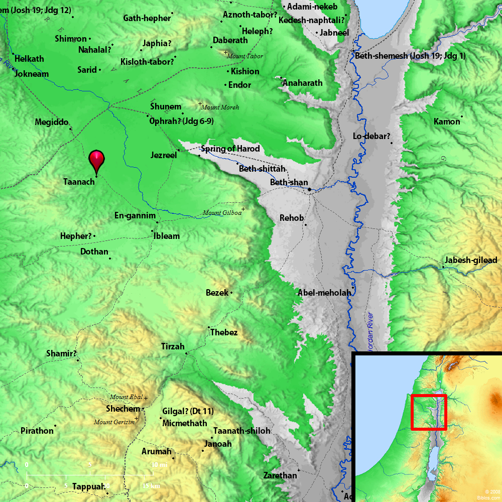
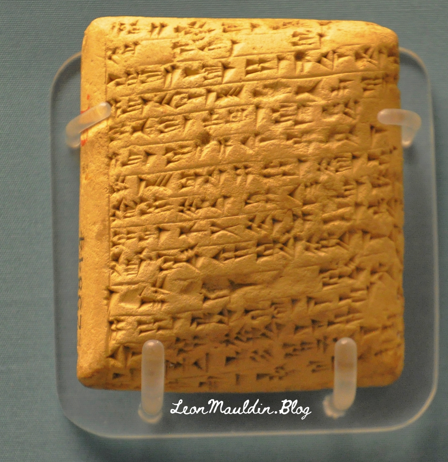
Jokneam was a strategic city-state of Canaan, located on the ancient international route which connected Egypt to Mesopotamia. It is listed among 31 other cities defeated by Joshua during the conquest of Canaan (Josh. 12:22).
Jokneam is
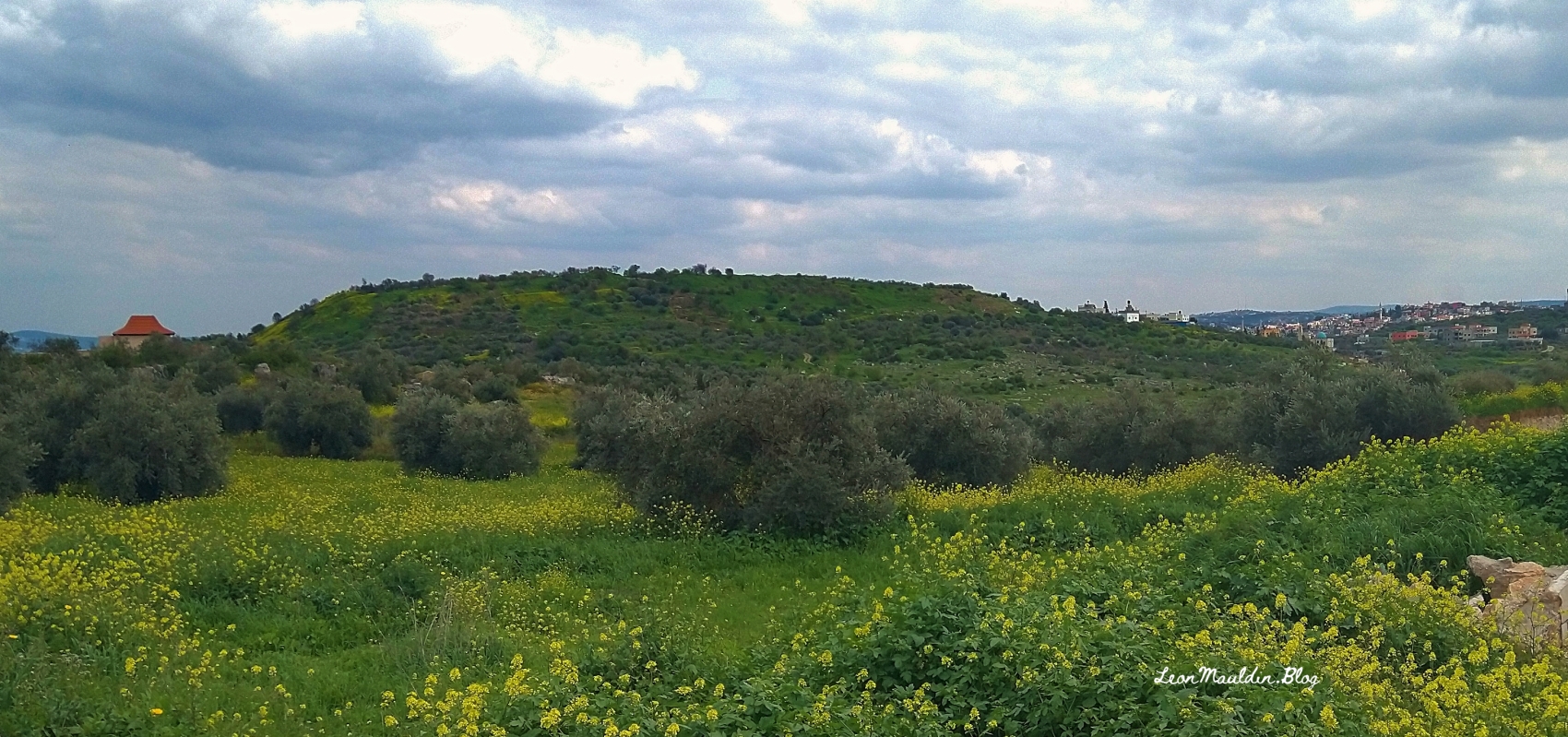
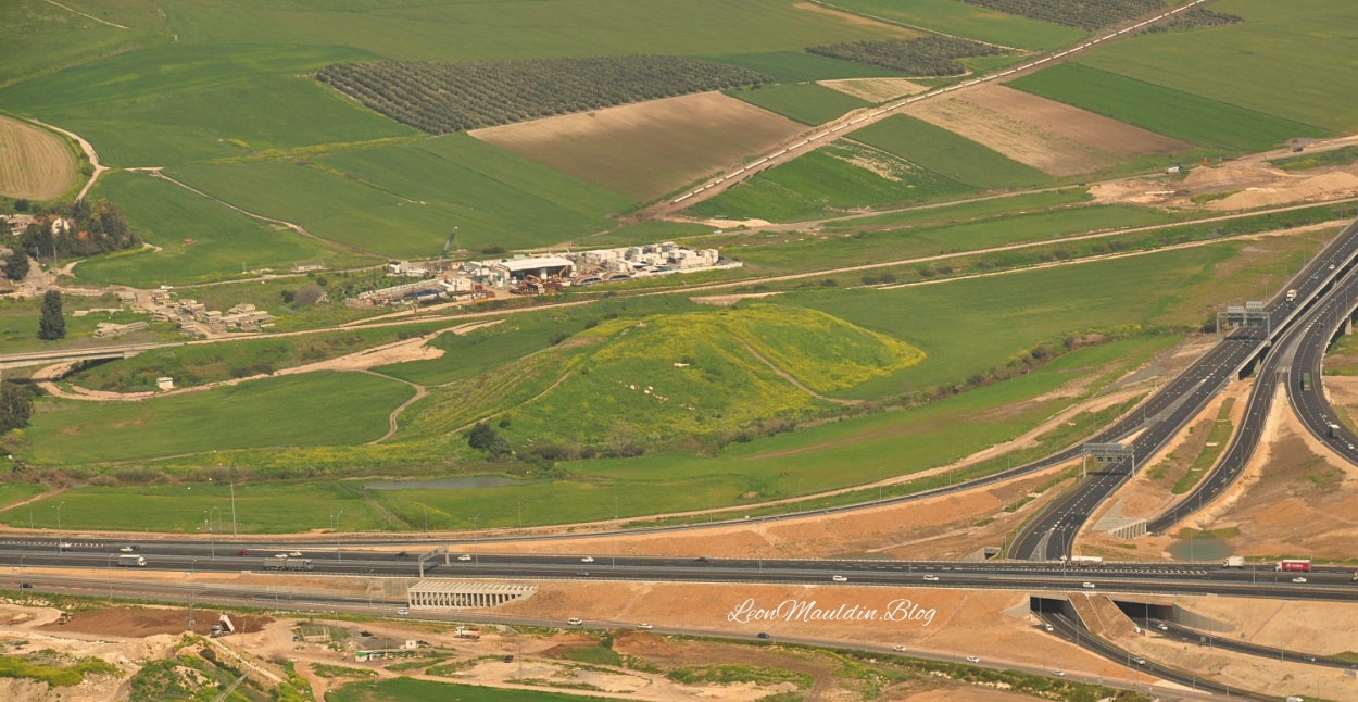
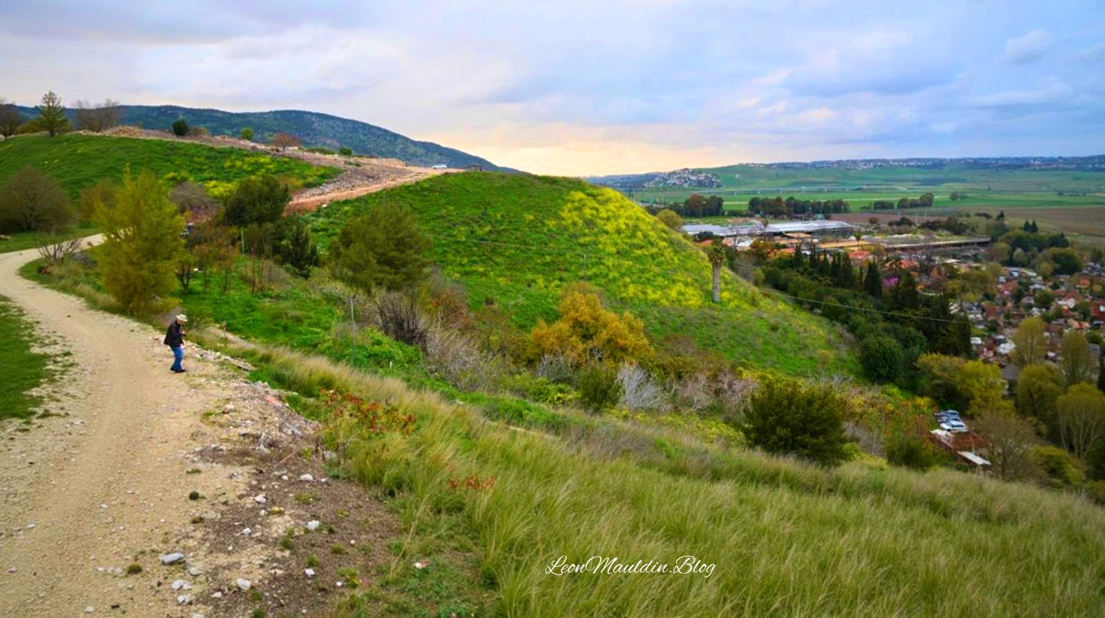
a large mound rising above the surrounding plain and covering an area of 10 a., is situated at a point along the abutment of Mount Carmel and the Jezreel Valley, near the debouchment of Nahal Yoqne‘am (map reference 1604.2289) and at the northern outlet of Wadi Milh (Nahal Tut), on one of the major routes cutting across the Carmel Range. Via the Coastal Plain, the route passes close to Acco and then runs toward Phoenicia and other centers to its northwest.
Of the three major cities located in the western Jezreel Valley in antiquity—Jokneam, Shimron, and Megiddo—Jokneam was the smallest. It was continuously inhabited for an extremely long time: the survey conducted here, as part of a regional research project—the “Yoqneam Regional Project”—furnished evidence of a settlement on the mound from the Early Bronze Age to the Mameluke period, a span of nearly four thousand years, although the site was not fully occupied in all these periods. During the Arab and Crusader periods, Jokneam was the largest and most important center in the western Jezreel Valley. During the Roman period, the occupational sequence may have been interrupted, with the inhabitants moving to the nearby hill where modern Yoqne‘am ‘Illit is situated.
The favorable environmental conditions prevailing in the Jezreel Valley made it a very densely populated region throughout most periods. Sites such as Tel Qiri, about 2 km (1 mi.) south of Jokneam, and Tel Qashish, some 2 km to its north, were undoubtedly satellite settlements linked to the major city of Jokneam. This region thus provides an opportunity to investigate the material cultural aspect of the relationship between a city and its satellite towns, through simultaneous excavations at the three adjacent sites. (Ben-Tor, A. (1993). Jokneam. In E. Stern (Ed.), The New Encyclopedia of Archaeological Excavations in the Holy Land (Vol. 3, p. 805). Israel Exploration Society & Carta; Simon & Schuster).
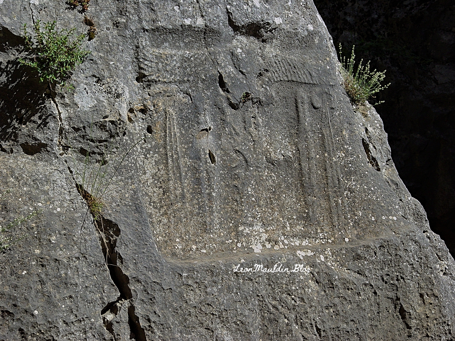
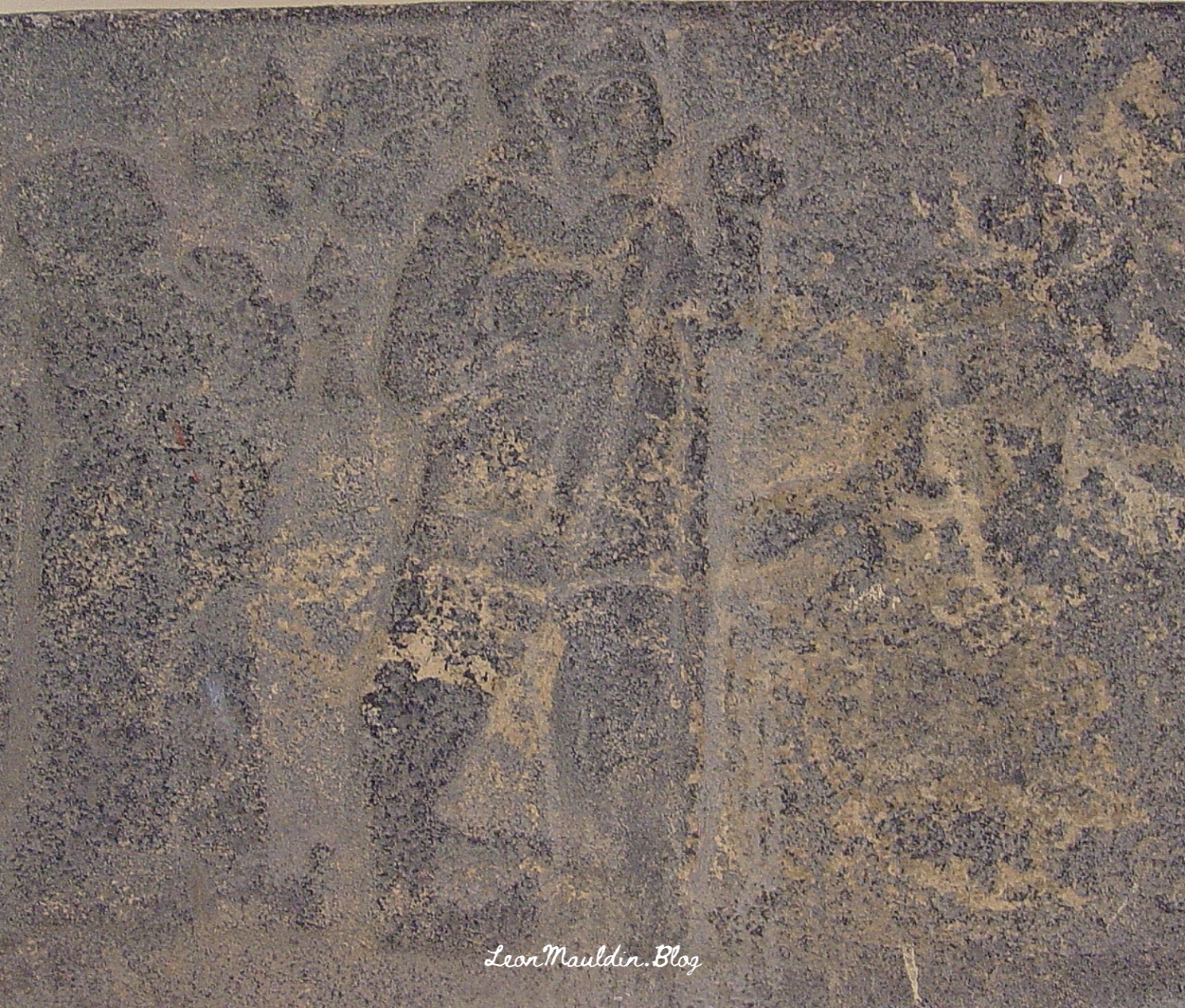
I had seen Jokneam from the viewpoint of Mt. Carmel in the photo above a number of times. Then in 2022 Ferrell Jenkins and I were able to explore it more closely on one of our personal study trips.
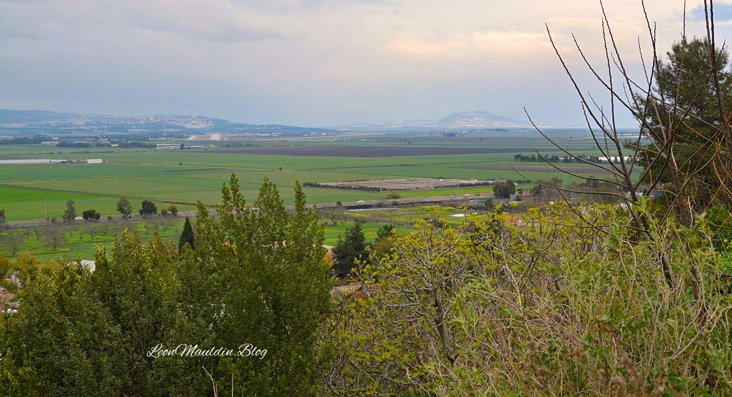
Here is a view of the Valley of Jezreel as seen from Jokneam:
We have previously written on Jokneam here.
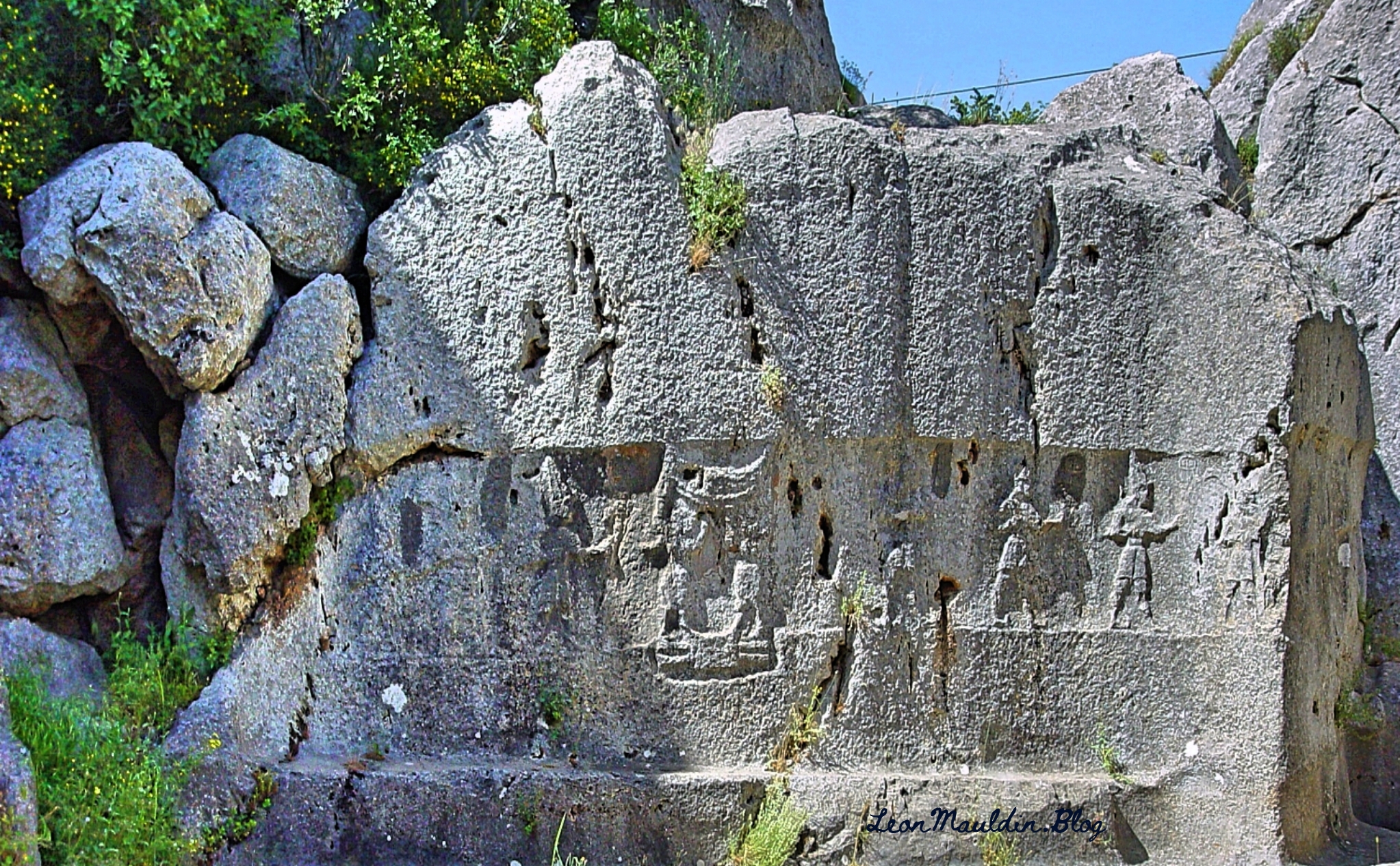
Click images for larger view.


 Posted by Leon Mauldin