The current cover photo of Biblical Archaeology Review features a bust of “an Ammonite deity, perhaps the chief god, Milkom” (BAR, Winter 2003, p 48).
A similar bust is displayed in the Israel Museum.

A helpful resource, Chronicles of the Land: Archaeology in the Israel Museum Jerusalem, regarding the above artifact, simply notes, “Head of a statue depicting an Ammonite deity, late 8th century BCE” (p. 87). That date would fit in the bibilcal period of the Divided Kingdom, or perhaps Judah Alone (Israel fell in 722 BC).
The inside BAR article notes,
Ancient inscriptions tell us that the people of Ammon called themselves the bene ammon (“children of Ammon”), a designation also found in the Book of Kings (1 Kings 11:7,33). The Ammonites had their own language and script, which developed from Proto-Canaanite and was closely related to Phoenician, Hebrew, and Moabite. They worshiped their own chief deity, Milkom [spelled “Milcom” in most translations], who is mentioned in both Ammonite inscriptions and the Bible (e.g., 1 Kings 11:5,33).
(BAR/Winter 2023, p. 50).
The Ammonites had their origin in Lot, the nephew of Abraham. The sad story is told in Genesis 19:30-38. In time to come, during the biblical period of the Judges, Israel worshiped “the gods of the people of Ammon”, among other gods (Judges 10:6). Later during the days of the United Kingdom, Saul fought (successfully) against the Ammonites (1 Samual 14:47). They were also subdued under King David (2 Samuel 8:11-12). Unfortunately, Israel’s forces were besieging Rabbah, Ammon’s capital, when David “tarried in Jerusalem” and committed adultery with Bathsheba (2 Samuel 11:1-5). Another sad event: “Furthermore, on the hill east of Jerusalem Solomon built a high place for the detestable Moabite god Chemosh and for the detestable Ammonite god Milcom” (1 Kings 11:7, NET Bible).
Our map here below shows the location of Ammon.

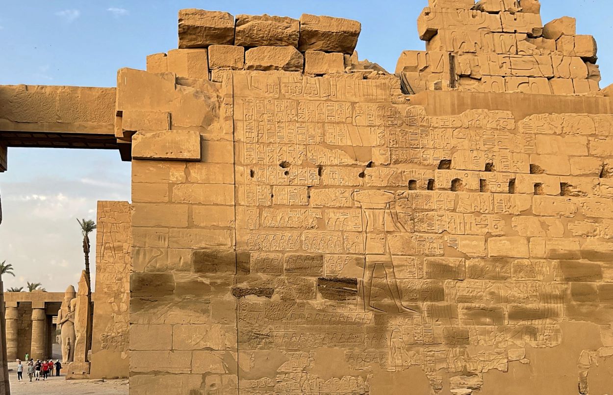
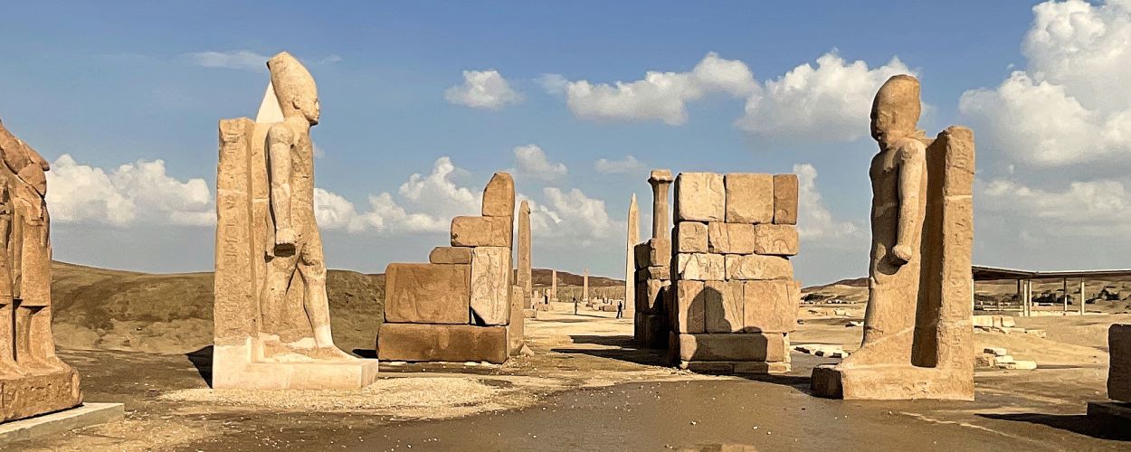
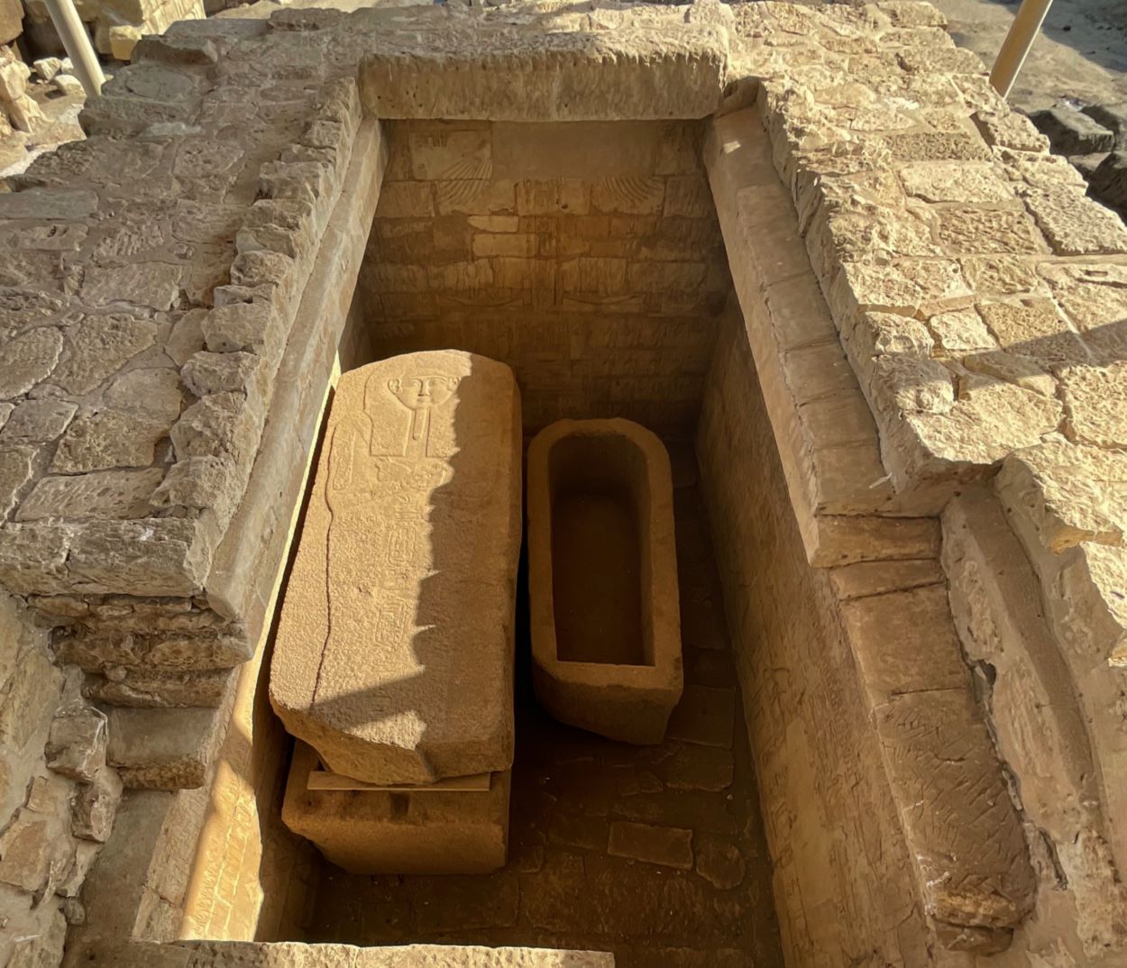
Click photos for larger view.


 Posted by Leon Mauldin