2 Samuel narrates an event early in the reign of King David, when initially he was king of Judah, prior to his reign over all Israel. When Ishbosheth, Saul’s son, was the rival king of Israel to the north, and Abner was his commander, there was a meeting at the pool of Gibeon, with Abner and his forces, and Joab, David’s commander, and his men. The text reads,
And Joab the son of Zeruiah, and the servants of David, went out and met them by the pool of Gibeon. So they sat down, one on one side of the pool and the other on the other side of the pool. Then Abner said to Joab, “Let the young men now arise and compete before us.” And Joab said, “Let them arise.” So they arose and went over by number, twelve from Benjamin, followers of Ishbosheth the son of Saul, and twelve from the servants of David. And each one grasped his opponent by the head and thrust his sword in his opponent’s side; so they fell down together. Therefore that place was called the Field of Sharp Swords, which is in Gibeon. So there was a very fierce battle that day, and Abner and the men of Israel were beaten before the servants of David (2 Sam. 2:13-17).
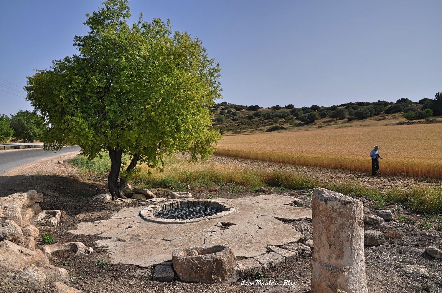
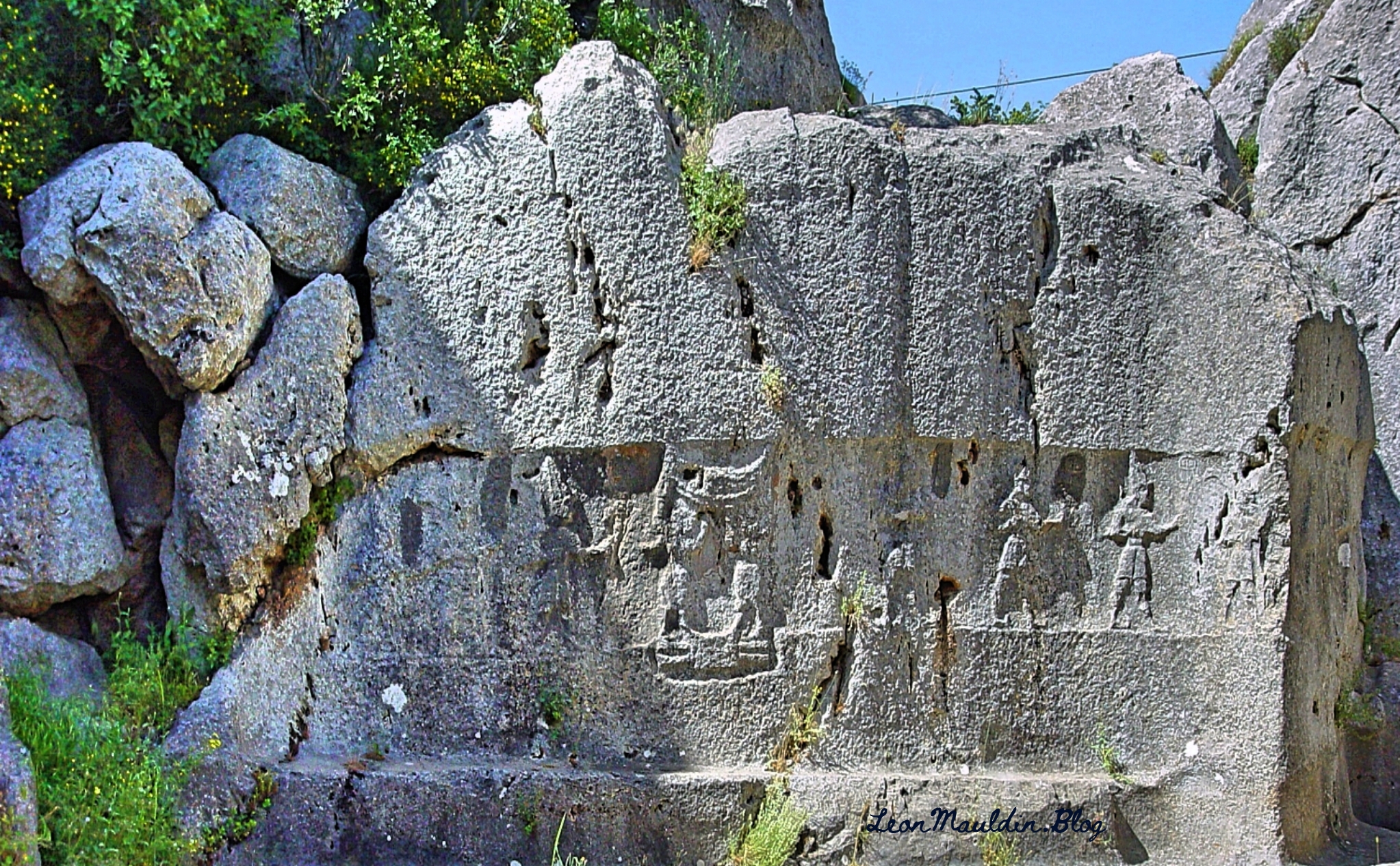
Abner and his forces were soundly defeated, suffering 360 casualties, while David’s men led by his commander Joab had a total of 20 losses (v. 25-31). It was a sad and unnecessary chapter in Israel’s history. Gibeon was located within the tribal territory of Benjamin. Today it is in the West Bank.
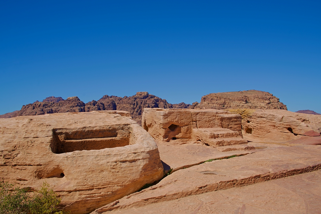
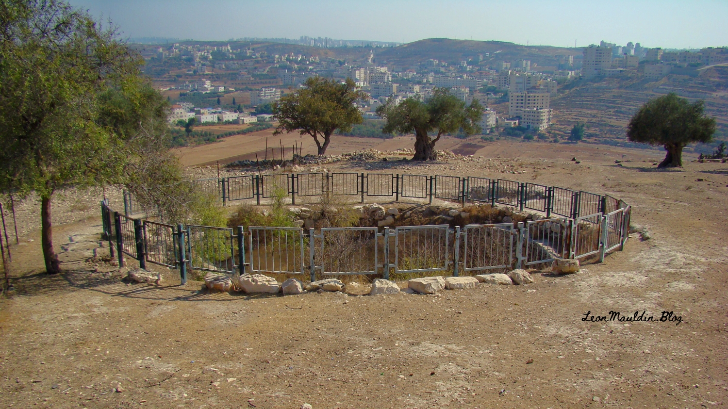
Here is a closer view of the pool mentioned in our text:
The Baker Encyclopedia of the Bible has the following entry, dealing with the pool, as well as more info regarding the site of Gibeon:
The Great Pool. This is referred to several times in the Bible and can now be identified. It was 37 feet in diameter and 82 feet deep, cylindrical in shape with perpendicular sides cut into bed-rock. There was a spiral stairway of 79 steps which gave access to fresh water 80 feet below street level. The pool lay inside the city walls.
The Stepped Tunnel. There was a second plan for obtaining water in time of siege. An underground sloping tunnel which descended by a series of 93 steps led to an underground reservoir fed by a spring originating in the rock mass below the city. This spring had been traced and a feeder tunnel enabled its water to flow more readily to the reservoir. Any overflow found its way via a conduit to the village below. This was a remarkable engineering achievement. The stepped tunnel reached down to a depth of 80 feet and was 167 feet long. In its walls were niches to hold oil lamps. Probably it was here that the “drawers of water” (Jos 9:27) obtained their supplies.
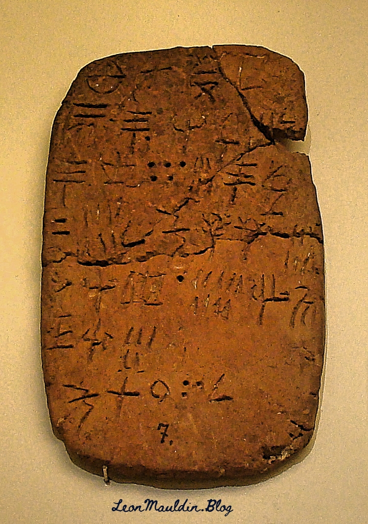
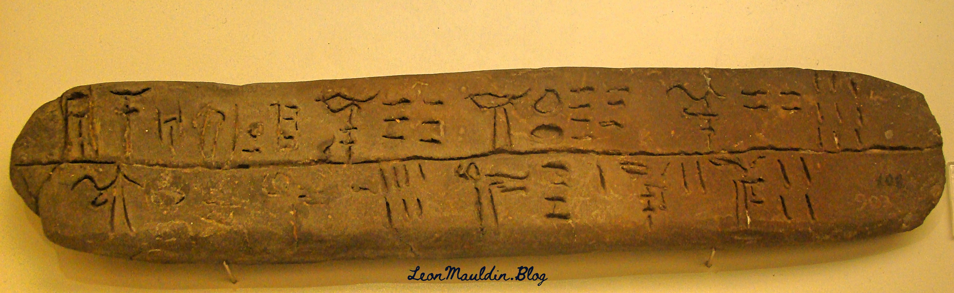
Inscriptions and Royal Stamp Seals. Sixty-one jar handles have been found on which inscriptions were cut in the archaic Hebrew script. On 31 of these is the word for Gibeon in whole or in part. Another 80 jar handles carry the letters lmlk, “belonging to the king.” Several well-known OT names such as Azariah, Amariah, Hananiah, and Neriah and a number of place-names such as Hebron, Socoh, and Ziph appear on these inscriptions.
Industrial Area. A remarkable industrial area came to light in the excavations, located both north and south of the pool. Here there were numerous winepresses, fermenting basins, and 63 underground cellars for cooling large wine jars. The whole area covered over 1100 square yards with cellars sunk into the limestone, some of these being over seven feet deep and equipped with stone covers. It is estimated that up to 25,000 gallons of wine could be stored in the jars. Some of the cellars were used as tombs in Roman times, but in Byzantine and modern times their use as wine cellars continued. In detail the cellars were bottle-shaped and averaged 7.2 feet in depth and 6.6 feet across at the bottom. The opening to the cellars averaged 2.2 feet in diameter at the top. The jars in which the wine was stored had a capacity of 9.75 gallons. It is clear that the manufacture of wine was an important element in the economy of Gibeon in OT times.
Fortifications. Gibeon was a walled city. Two impressive stone walls which encircled the city at different periods have been exposed. No traces of walls were found that could be dated to the Early, Middle, or Late Bronze periods although the remains of house walls, pottery, and tombs demonstrate that the city was occupied then. The excavator concluded that the construction of the earlier wall dates to the 12th century BC. and the later wall was built in the 10th century BC. and continued in use to the end of the 7th century BC. The average thickness of the wall was about 13 feet. The circumference of the fortification was 3125 feet.
The Necropolis. The burial place of Gibeon was situated to the west of the city halfway down the rock scarp. Many of the graves contained skeletal remains, pottery, scarabs, and other artifacts. The size of the tombs varied considerably, but most consisted of a vertical cylindrical shaft about 3.7 feet in diameter, the depths varying from 3.3 feet to 13 feet. The tombs were sealed by either one large stone or several smaller ones at the foot of the vertical shaft where the burial chamber opened to one side.
JOHN A. THOMPSON Vol. 1, p. 864).I have previously posted on Gibeon here, here and here.
Click image for larger view.


 Posted by Leon Mauldin